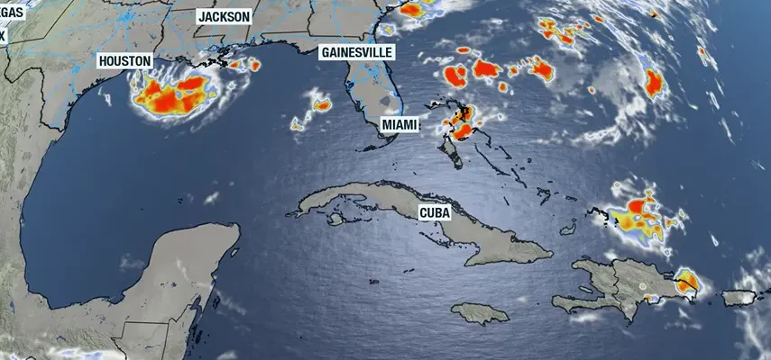
Tropical Storm Edouard is shown on an Atlantic basin satellite photo on Aug. 31, 2026.
Published on September 1, 2026 at 9:47 am
Free local news and info, in your inbox at 6 a.m. M-F. Sign up for the Jacksonville Today newsletter.
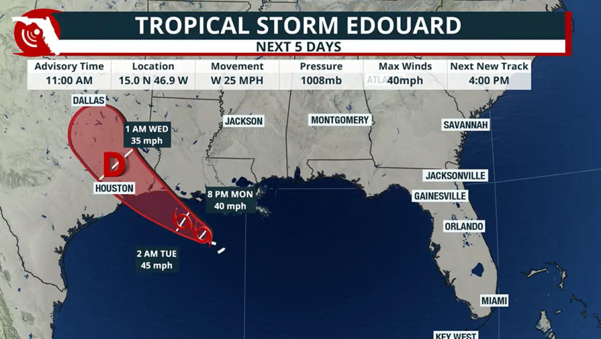
A disturbed area of weather along the northern Gulf Coast found one of the few spots where conditions were not hostile for tropical development and has strengthened into Tropical Storm Edouard.
Much like the four prior storms this season, Edouard’s lifespan is expected to be short because the cyclone is simply running out of real estate.
Jacksonville Today thanks our sponsors. Become one.
The system is forecast to move inland over western Louisiana and eastern Texas, limiting the amount of time it has to strengthen over the warm water of the Gulf.
The primary concern from the cyclone will be inland flooding, especially along and north of the Interstate 10 corridor.
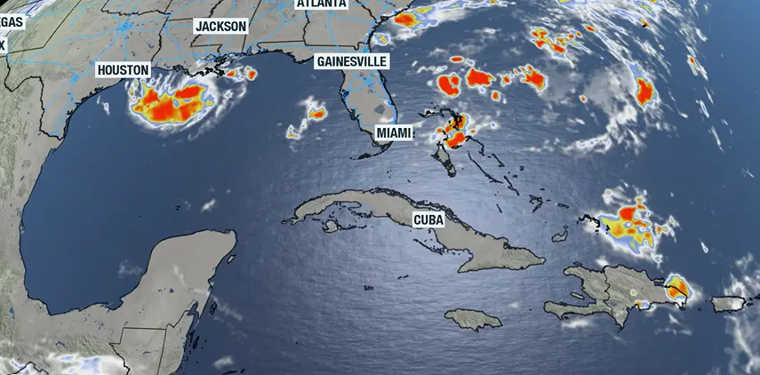
But the Gulf Coast will not be the only region experiencing tropical-influenced rainfall.


Jacksonville Today thanks our sponsors. Become one.
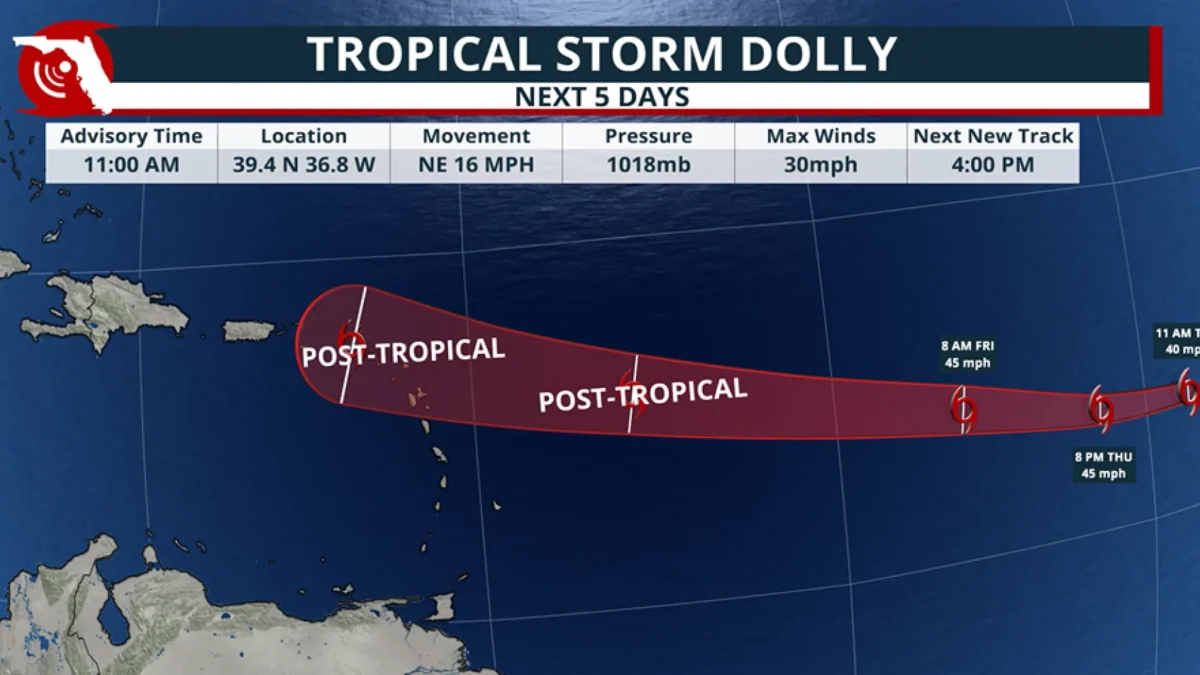
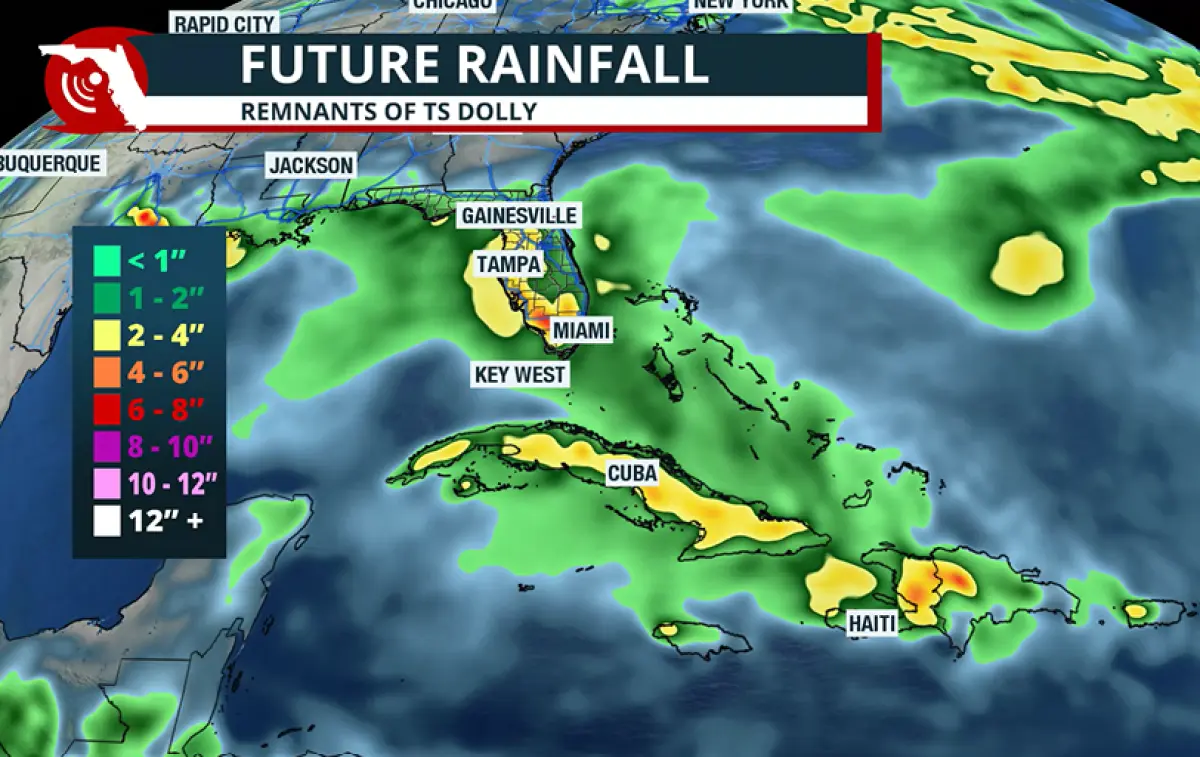
The Sunshine State will also get in on the action, but not from Edouard. Instead, the remnants of Tropical Storm Dolly will play a role.
Dolly fell apart before impacting the Caribbean but has still been producing heavy rainfall over some of the islands.
While some forecast models initially showed Dolly potentially reorganizing into a cyclone, that scenario does not appear to be in the cards. However, the lack of redevelopment does not mean there won’t be local effects.
Over the next five days, forecast models show widespread rainfall totals of 2 to 4 inches across Florida, primarily south of Interstate 4.
The tropical moisture will also increase the potential for an isolated waterspout or tornado as bands of showers and thunderstorms work their way ashore.
And for beachgoers, seas and surf will become rough and accompanied by an increased threat of rip currents across a good portion of the state’s beaches.
Edouard at season’s peak
The arrival of Edouard and the remnants of Dolly come as the Atlantic hurricane season approaches the statistical peak of the season.
On its surface, the season appears to be running on schedule, but the numbers tell a different story.
Through the first three months of the hurricane season, there have been five named storms, which is not too far off from average. However, each storm has been weak, with many lasting less than 24 hours.
As a result, the Atlantic basin has generated very little accumulated cyclone energy, or what is commonly referred to as ACE.
ACE is a metric that measures the total energy produced by tropical cyclones over their lifetimes by accounting for both intensity and duration. Long-lived hurricanes produce far more ACE than weaker storms that dissipate quickly.
So far, tropical storms in the Atlantic have amassed just 3.7 units of ACE, some 90% below the season-to-date average.
If the season were to end today, it would be the least active season in modern history and would be the second-quietest season since 1851.
Additionally, there have been no hurricanes across the Atlantic basin — another modern first.
The large-scale reduction in activity was anticipated with a developing El Niño, which creates less favorable conditions for tropical cyclone development across parts of the Atlantic basin.
Still, the expectation was that there would be one or two significant cyclones, particularly because water temperatures across much of the basin are above average.
That being said, 66% of the season’s busiest weeks are still ahead.
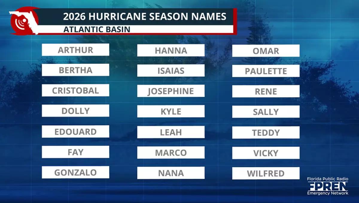
The next named storm will be Fay, but forecast models show only limited activity across the basin over the next two weeks.
Copyright © 2026 Storm Center