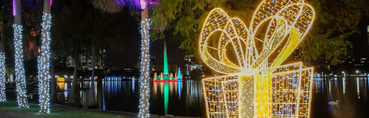
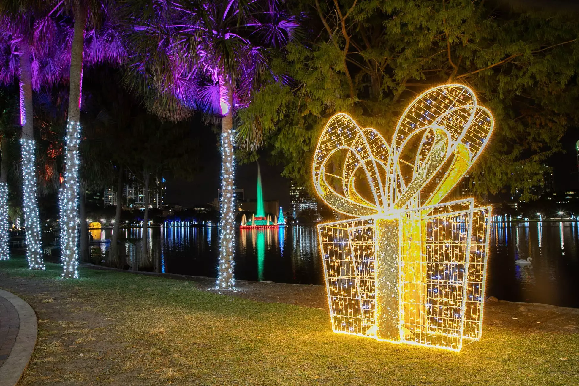
Christmas decorations in Orlando, Florida.
Published on December 4, 2025 at 11:25 am
Free local news and info, in your inbox at 6 a.m. M-F. Sign up for the Jacksonville Today newsletter.
As the first month of meteorological winter gets underway, forecasters widely expect December and the holidays to trend warmer and drier than average across the Sunshine State.
Even though December began on a rainy, cooler note, long-range climate guidance show that much of the state is positioned for a milder-than-usual endgame by the time the month wraps up.
Jacksonville Today thanks our sponsors. Become one.
The National Oceanic and Atmospheric Administration says all of Florida is likely to experience warmer-than-normal temperatures.
The outlook does not mean cold snaps are off the table, but any stretches of colder weather will likely be short-lived.
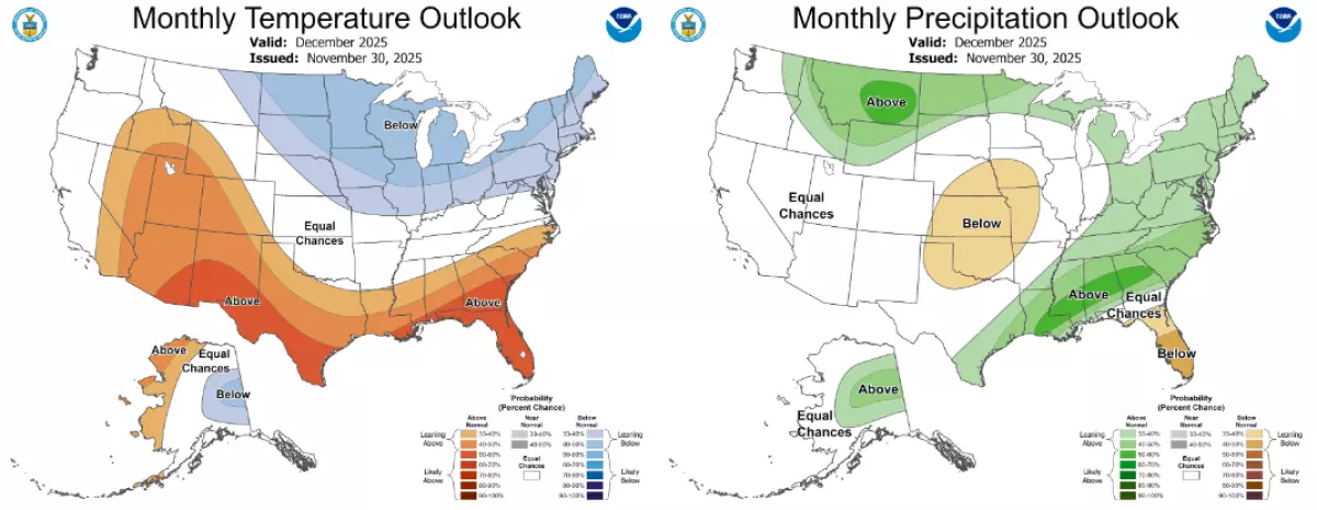
If the forecast verifies, these limited cold spells will not have enough staying power, allowing the state to finish December on the warmer side.


Jacksonville Today thanks our sponsors. Become one.
A warmer-than-average December would also continue what has been a warm year overall for Florida.
According to NOAA climate data, the state is closing out what is around its seventh warmest year out of 131 years of records.
RELATED: How La Nina could shape our winter weather
On the precipitation front, forecasters expect December’s rainfall totals to finish below normal for most, with a possible exception of the western Panhandle.
Florida entered meteorological winter with roughly 80% of the state classified as abnormally dry and more than 60% experiencing drought conditions.
The overall winter outlook resembles a fairly classic La Niña pattern, where southeastern states typically see mild conditions.

The current La Niña event emerged in September and is expected to be short-lived, with forecasts suggesting a transition back to neutral ENSO conditions during the first half of 2026.
The status of the El Niño–Southern Oscillation, or what is commonly referred to as the ENSO, significantly influences seasonal weather patterns, affecting everything from rainfall distribution to ocean temperatures.
The holiday period
While weather outcomes are never guaranteed, one thing is certain: La Niña will continue through the holiday period, which includes:
- Dec. 15-22: Hanukkah
- Dec. 25: Christmas Day
- Dec. 26-Jan. 1: Kwanzaa
- Dec. 31: New Year’s Eve
With December starting off on a cool note, the expected warmup later in the month means holiday temperatures may fall on the milder side.
Weather patterns often persist for several days to a few weeks at a time, so any potential shift after the current cold spell would place the mid- to later month in the time period for a potential change.
Guidance from the European Centre for Medium-Range Weather Forecasts, which is commonly referred to as the Euro model, supports this evolving pattern.
Early in the month, the combination of disturbances along with a disruption of the polar vortex has allowed colder-than-normal air to spill southward into the Southeast.
But by mid- to late December, the Euro suggests a shift toward a more southwesterly upper-level flow, which typically ushers in warmer air from the Pacific.
It is too early to pinpoint the exact weather conditions expected on Christmas Day, but if conditions manage to land near seasonal norms, most Floridians can expect morning lows in the 40s and 50s, while afternoon highs climb into the 60s and 70s.

Copyright © 2025 Storm Center