
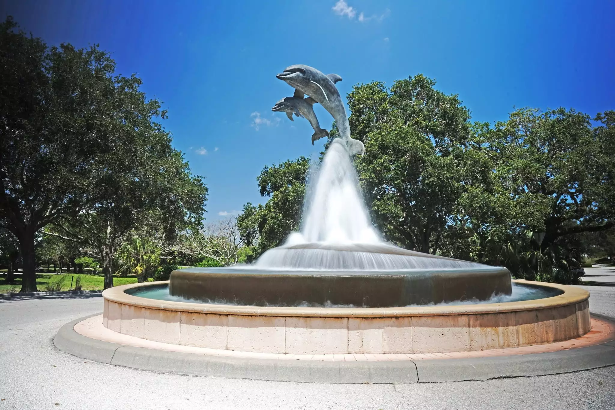
Photo of Indian Riverside Park in Martin County. | Martin County
Published on July 8, 2026 at 9:45 am
Free local news and info, in your inbox at 6 a.m. M-F. Sign up for the Jacksonville Today newsletter.
Temperatures in Northeast Florida were predicted to hit the upper 90s Tuesday afternoon with a heat index making it feel as high as 112 degrees, the National Weather Service said.
Heat advisories are possible every day through the weekend, the Weather Service says.
Jacksonville Today thanks our sponsors. Become one.
City officials are warning people to seek shade, stay hydrated and never leave anyone, including pets, in a car.
As of noon Tuesday, the city had not announced the opening of any emergency cooling centers. JaxReady.com, the city’s emergency preparedness website, says cooling centers are activated if the Weather Service issues a Local Heat Advisory for three or more consecutive days or an Excessive Heat Warning for one or more days.
Statewide, Florida closed out the first month of meteorological summer with a mixed-bag of temperatures, as daily thunderstorm activity helped to keep some communities cooler while others reported one of their hottest Junes on record.



Jacksonville Today thanks our sponsors. Become one.
The contrasting observations across the state highlight just how localized Florida’s weather can be, with the sometimes cooler than average temperatures occurring just miles away from heat islands.
Clermont, in Central Florida, recorded its warmest June when compared to typical values, finishing about 4 degrees above average for the month. Meanwhile, Pensacola was the coolest major metro area across the state, ending the month approximately 2 degrees below average.
Cooler than average temperatures were largely found along the Panhandle, while Central and South Florida were home to the heat.

Regions that experienced frequent afternoon showers and thunderstorms generally recorded temperatures closer to seasonal averages, while locations that missed out on the rainfall often experienced temperatures that were well above average.
As a whole, warmer readings outweighed the cooler ones during the first month of meteorological summer, allowing the Sunshine State to experience one of its 10th warmest Junes on record.
The arrival of July has done little to change the pattern, with temperatures expected to get even warmer during the next few weeks.
Forecast models show another extended period of above-average temperatures developing this week as a ridge of high pressure builds across the Sunshine State.
The warmer conditions are expected along and north of the Interstate 4 corridor, where afternoon high temperatures are expected to climb into at least the upper 90s.
When combined with the humidity, the heat index could reach between 104 and 110 degrees through most of the state through the remaining days of the workweek and into the weekend.
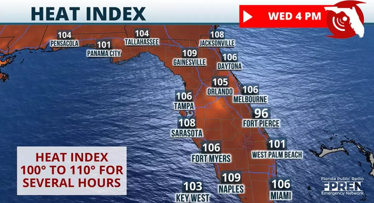
The heat indices mean that the National Oceanic and Atmospheric Administration‘s HeatRisk will reach the Major category in many areas with some neighborhoods potentially reaching the Extreme category.
Residents and visitors spending time outdoors are encouraged to drink plenty of water, take frequent breaks in the air conditioning and avoid strenuous activity during the hottest parts of the day.
Forecast guidance suggests that some ridging will remain in place through at least the middle of next week, leading to several days of above-normal heat.
Due to the abundance of seeking air, widespread shower and thunderstorm activity will be hard to come by.
Whether the current pattern persists through the remainder of the month remains uncertain, but the final week of July is climatologically the warmest period of the year, when average afternoon highs reach at least the low to mid-90s.

Copyright © 2026 Storm Center