Published on January 19, 2024 at 4:28 pm
Free local news and info, in your inbox at 6 a.m. M-F. Sign up for the Jacksonville Today newsletter.
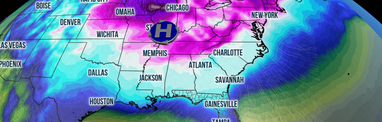
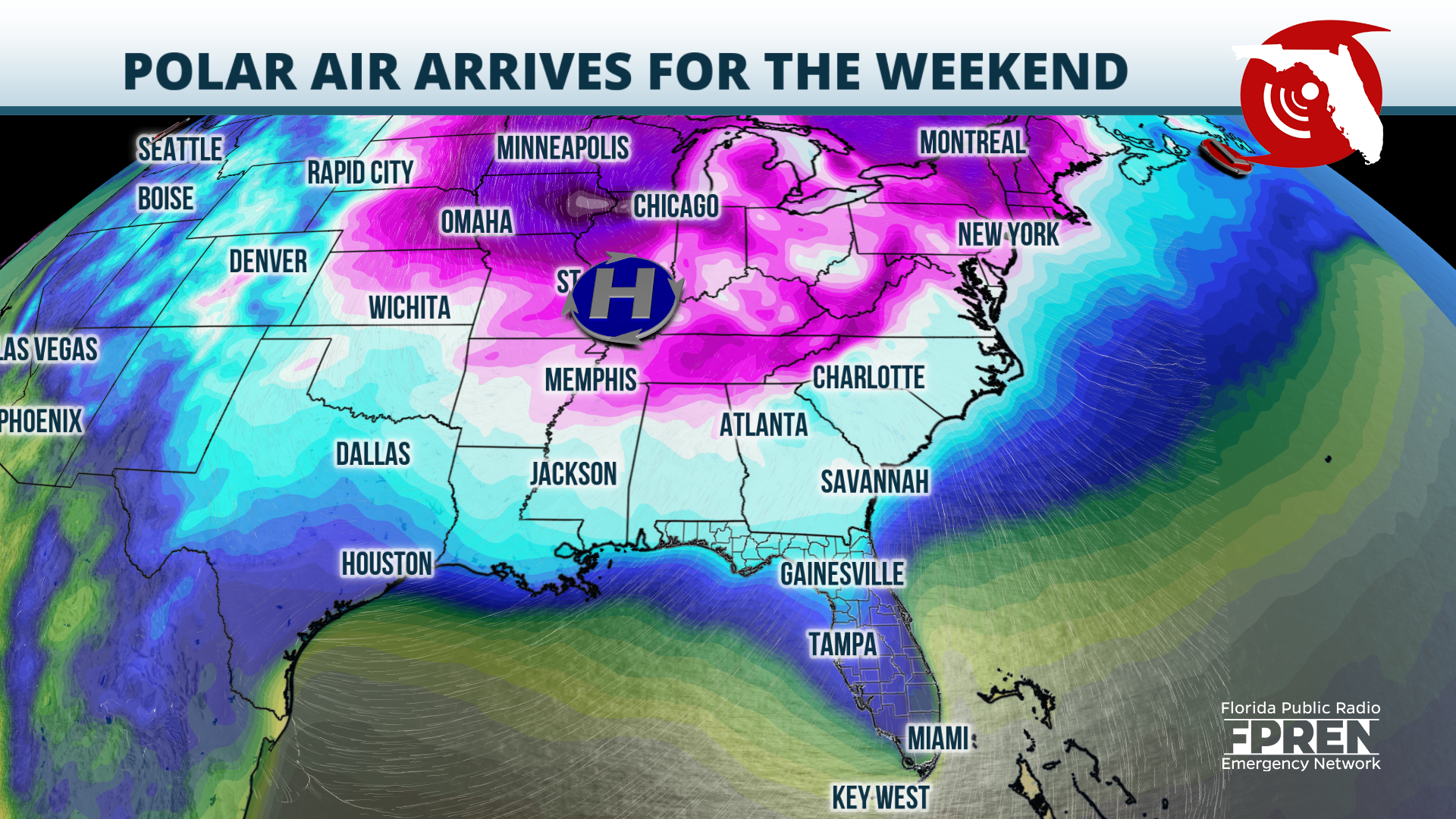
Sub-freezing temperatures are in the forecast for North Florida and the Panhandle both Saturday and Sunday morning. Widespread lows in the 20s are expected by Sunday morning, and if the forecast verifies, this could be the coldest that many locations have gotten since mid-January 2023.
A cold front that stemmed from yet another winter storm was pushing southward through the length of Florida on Friday. Only a thin ribbon of showers were being produced directly ahead of the boundary. Through Friday evening, the cold front should continue pushing southward, and a few showers or gusty thunderstorms will be possible over the Interstate 4 corridor southward into South Florida.
Jacksonville Today thanks our sponsors. Become one.
Although this front probably won’t produce impactful thunderstorms over Florida, the wind shift behind it will be very impactful for the Sunshine State. Northerly winds are slated to drag a polar airmass over the Southeast on Friday night, which should send temperatures across the state on a downward spiral this weekend.

Wind chill, freeze and frost alerts have already been issued for parts of the Panhandle and North Florida on Friday night into Saturday morning. In those areas, lows should dip to the low 30s and upper 20s by dawn Saturday.
In the afternoon, highs across the state will likely be below average: in the 40s over the Panhandle and North Florida, the 50s across Central Florida, and the 60s and low 70s across South Florida.


Jacksonville Today thanks our sponsors. Become one.
By Saturday night, temperatures should fall even more, especially over the northern half of the state. Lows in the mid to low 20s are possible along and north of Interstate 10, the upper 20s over North Central Florida. Locations along the I-4 corridor should fall to the 30s, and farther south, temperature readings in the 40s and 50s are likely.
The winter chill is expected to be short-lived. By Monday, temperatures should begin to rebound as mid-level wind flow becomes more southerly and southwesterly. By Wednesday afternoon, most of the state should experience afternoon highs in the mid to upper 70s.
Copyright 2024 Storm Center. To see more, visit Storm Center.9(MDEwNzczMDA2MDEzNTg3ODA1MTAzZjYxNg004))