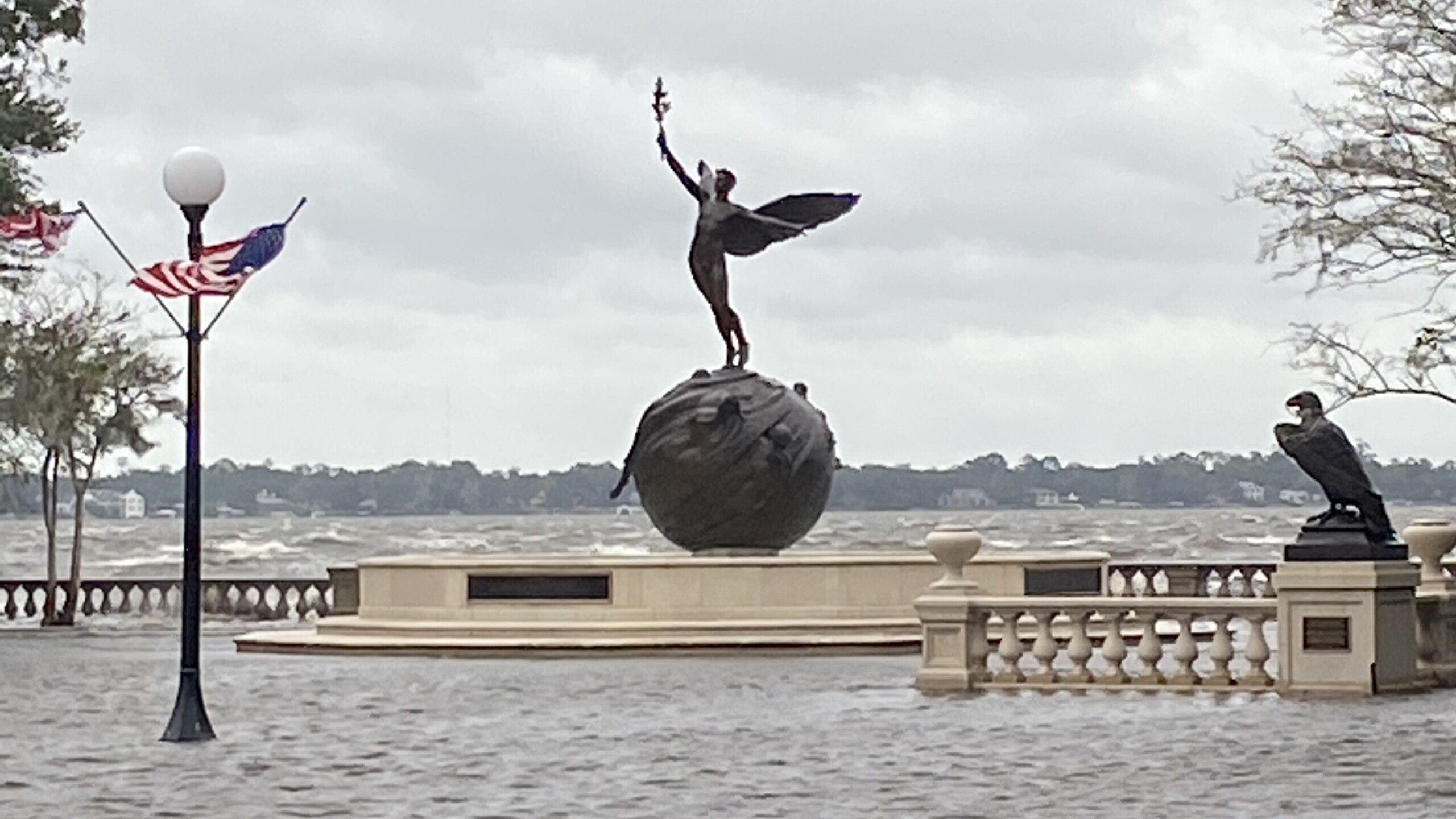
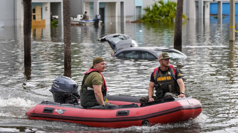
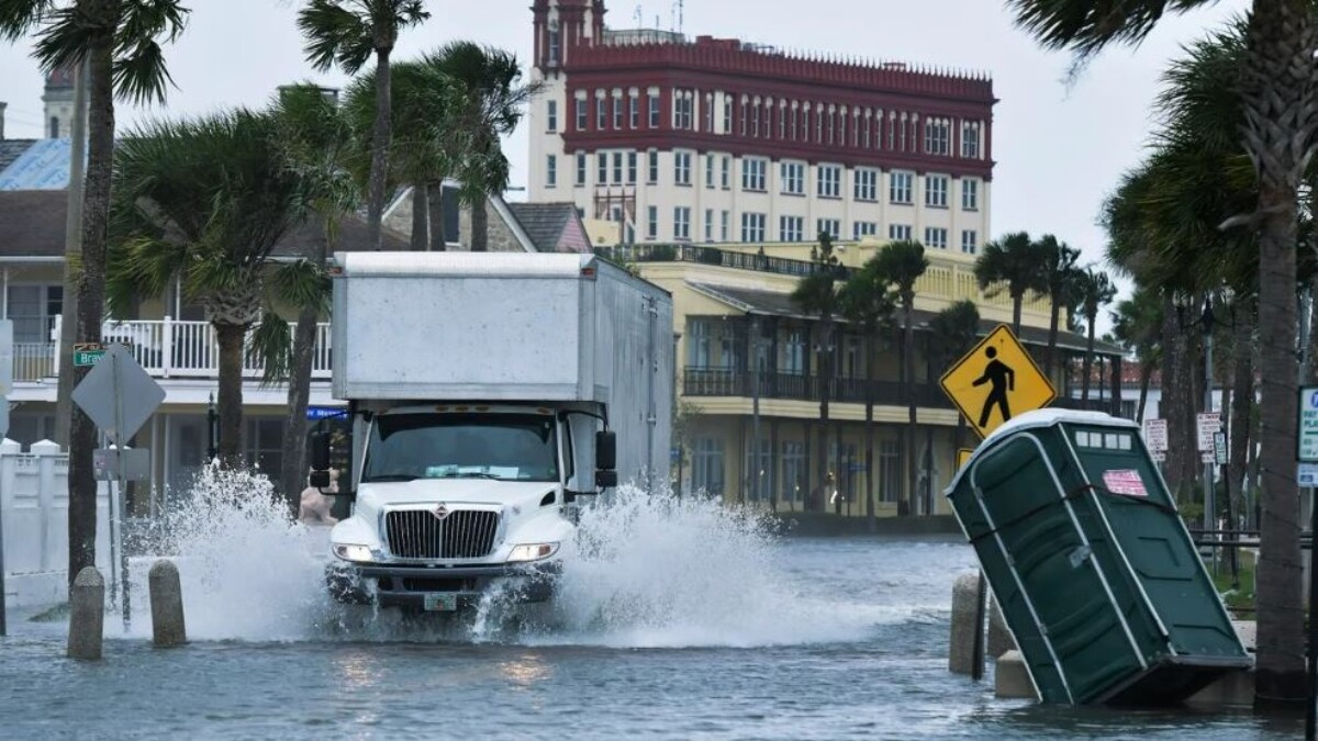
Hurricane Nicole made landfall about 3 a.m. Thursday near Vero Beach and quickly weakened to a tropical storm, but Northeast Florida was in for a day of rain, wind and rising water.
Tropical storm conditions were forecast along Florida’s east coast, Georgia an South Carolina as the rare November storm crossed the peninsula and then turned northeast on Friday.
As of Thursday afternoon:
- State Road A1A in St. Johns County was impassable for 6 miles — from Vilano to Guana — after the road collapsed.
- The Bridge of Lions in St. Augustine was closed because of flooding and high winds.
- The National Weather Service issued scattered tornado warnings in Duval, St. Johns and Nassau counties.
- Jacksonville International Airport remained open, but at least 59 flights were canceled.
- JEA reported power outages affecting about 28,000 customers as of 10 a.m. In addition, at least 3,500 people were without power in St Johns County, 7,600 in Clay County and about a hundred in Nassau County.
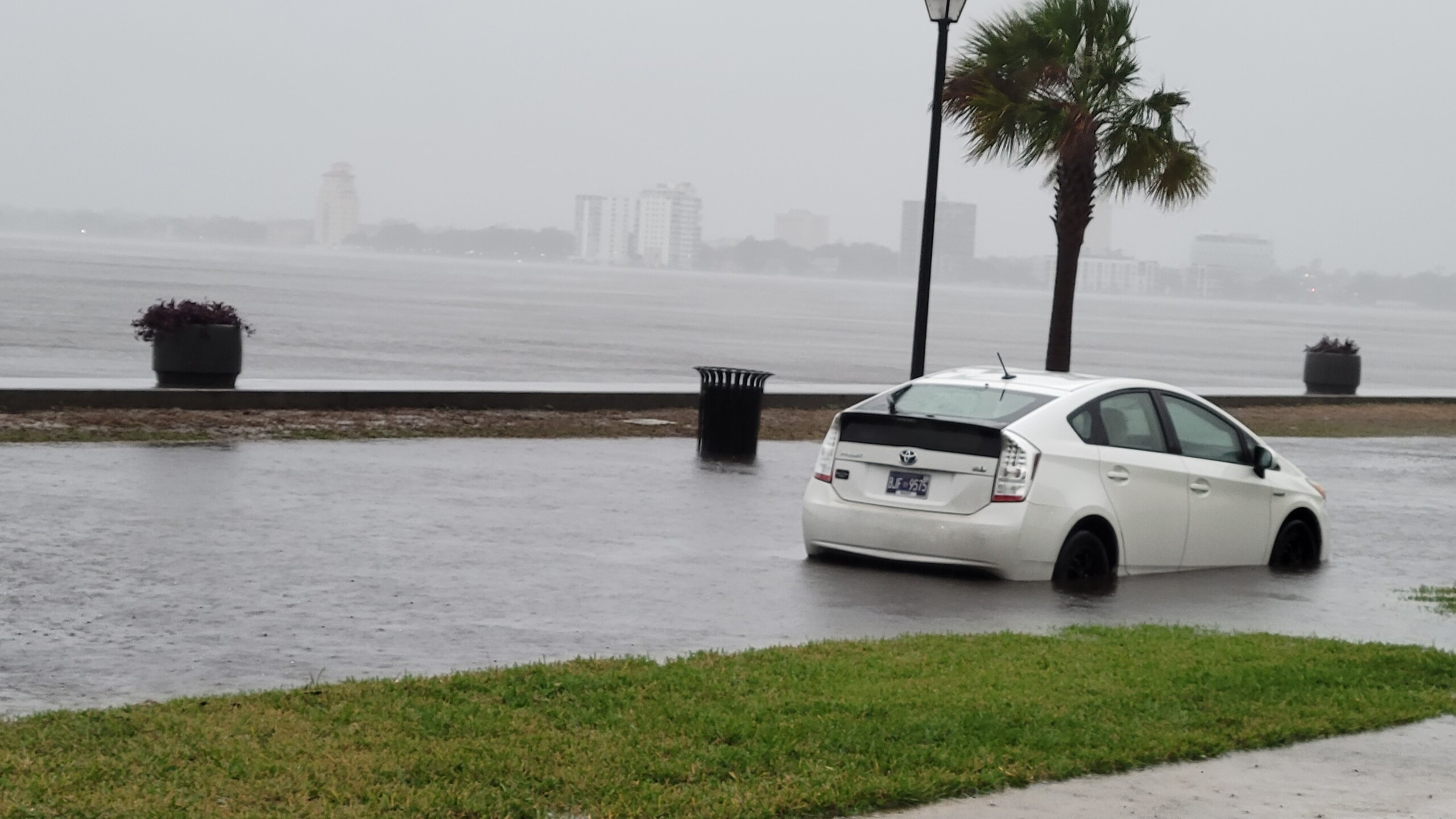
Water swamped River Road in San Marco and stranded a car.
Nicole was 95 miles southeast of Tallahassee at 4 p.m., moving northwest at 15 mph with decreased winds of 45 mph. A tropical storm warning remained in effect in Northeast Florida, with Nicole’s winds stretching 175 miles from the center.
Dangerous storm surge was expected on both coasts, with large and damaging waves in Northeast Florida, the National Hurricane Center said. The worst was expected during high tide in the late morning.
“The combination of a dangerous storm surge and the tide will cause normally dry areas near the coast to be flooded by rising waters moving inland from the shoreline,” the hurricane center said.
A storm surge of 2 to 4 feet was forecast for the St. Johns river south of the Fuller Warren Bridge and 3 to 5 feet along the coast. Winds of 39 mph, with stronger gusts, were predicted in Jacksonville throughout the day.
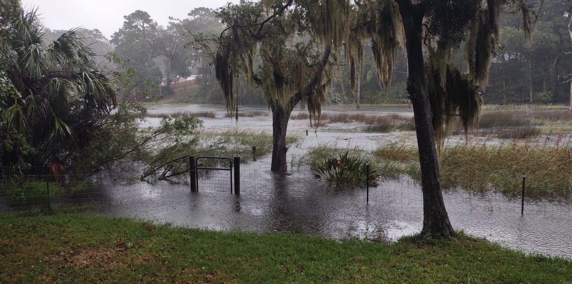
Floodwaters spilled into yards off Newcastle Creek in Arlington
“Damage from Hurricane Nicole is already present, especially along the east coast of Florida,” said meteorologist Justin Ballard of the Florida Public Radio Emergency Network. “This area has been subjugated to onshore flow for several days, leading to many reports of coastal erosion, damage to structures along the coast, and inundation along busy coastal roads.
“Nicole will gradually weaken through Thursday, but the wind field associated with Nicole remains quite large,” Ballard wrote. “This will result in tropical-storm-force winds across much of the state Thursday, as well as continued storm surge along both the east coast and Nature Coast along the Gulf of Mexico.9(MDEwNzczMDA2MDEzNTg3ODA1MTAzZjYxNg004))


