case 5


Published on June 27, 2019 at 9:10 am
Free local news and info, in your inbox at 6 a.m. M-F. Sign up for the Jacksonville Today newsletter.
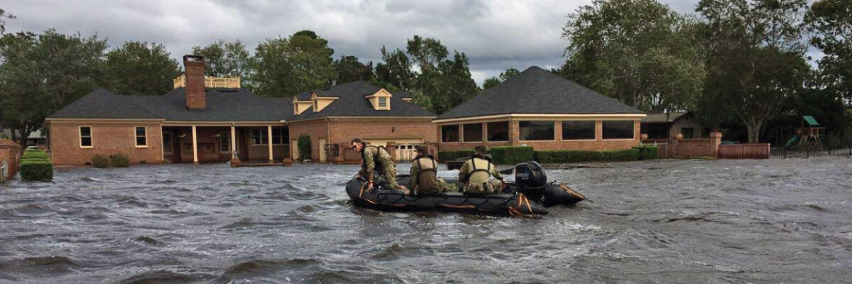
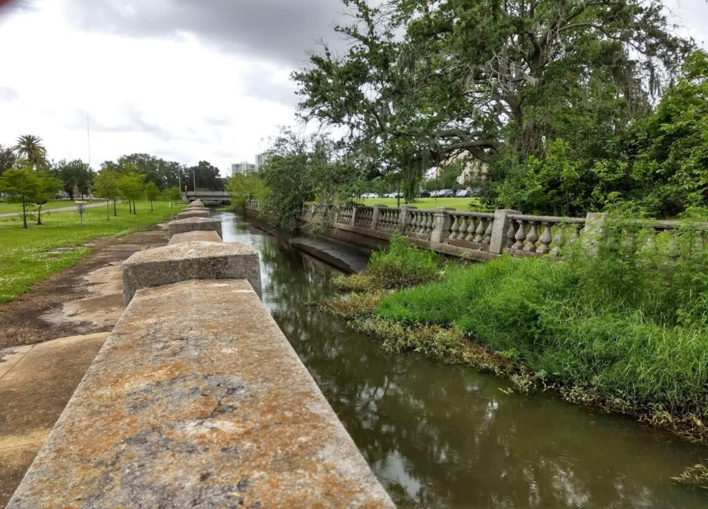
Recent “vulnerability assessments” by the National Fish and Wildlife Foundation reaffirm Northeast Florida is highly threatened by sea level rise and flooding caused by rain.
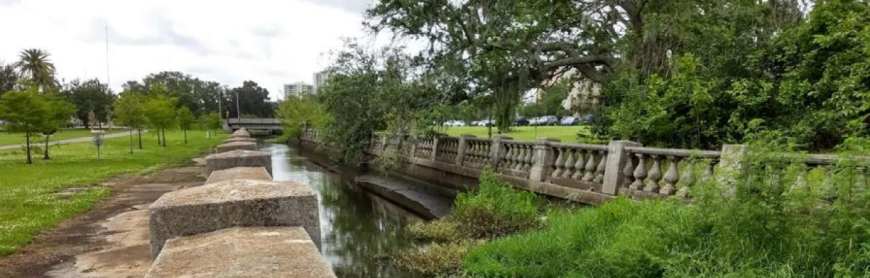
Unlike many densely populated areas along the East Coast, the assessment says, shoreline and inland riverbanks here are largely unprotected, which leaves opportunities for nature-based resilience improvements.
Jacksonville Today thanks our sponsors. Become one.
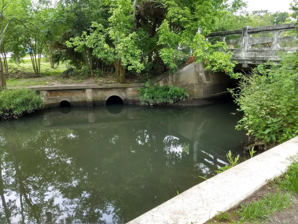
And those projects would be most effective if they’re located in what the foundation identified as prime “resilience hubs,” areas of open space surrounding dense population centers or community infrastructure where conservation projects would have the greatest potential benefit to humans as well as wildlife.
The Fish and Wildlife Foundation awards money from its National Coastal Resilience Fund for such projects, whether they’re on public or private land.
Since it was established last year, the fund has invested in restoring everything from wetlands and forests to oyster beds, coral reefs and barrier islands, all of which minimize the impacts of storms on nearby communities.


Jacksonville Today thanks our sponsors. Become one.
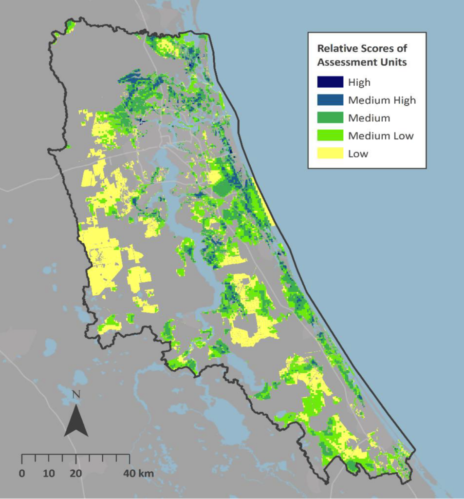
Northeast Florida’s map based on the assessment is dotted with the highest rated “resilience hubs” along the Atlantic coast and inland, west and east of the St. Johns River.
“This isn’t an advocacy project at all. People can pick it up and hopefully use it to cite data that’s been carefully curated so that we’re all speaking the same language,” said Pete Cutter, a senior conservation planner with NatureServe, a nonprofit that helped conduct the study.
The data can also be used by community planners and conservation organizations to develop and fund their own resilience-boosting projects. It can be viewed in the NFWF’s interactive Coastal Resilience Evaluation and Siting Tool.
Copyright 2019 ADAPT