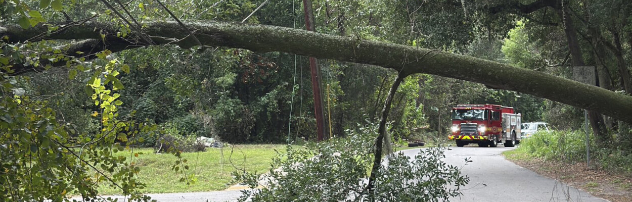
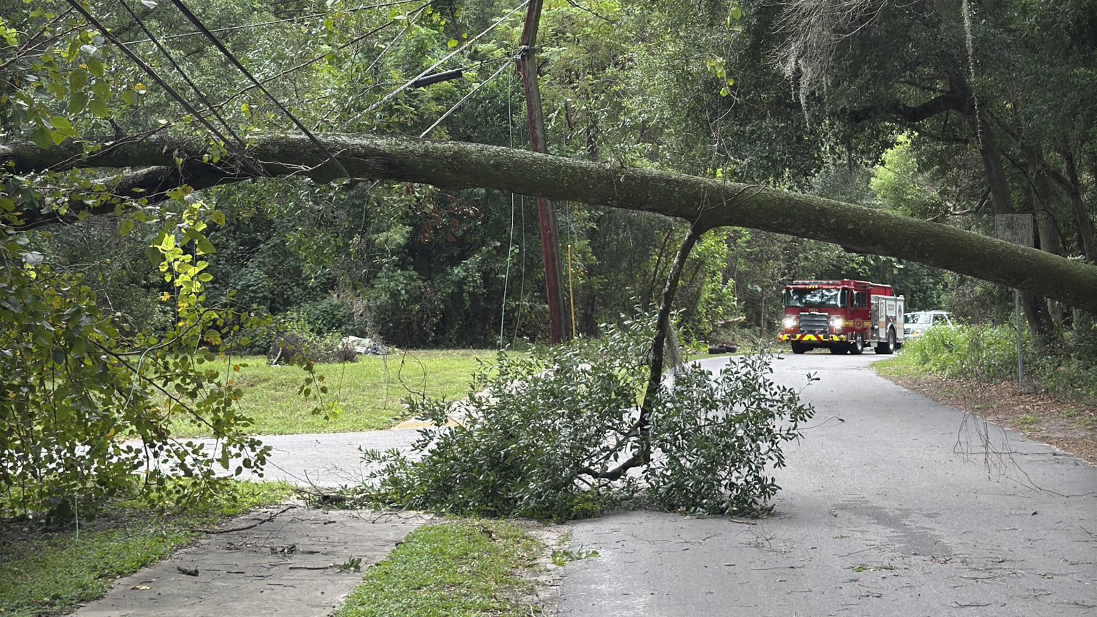
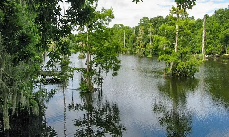
Jacksonville Fire and Rescue crews deal with a downed tree as the first gusts of wind from Hurricane Helene arrived in Jacksonville around 6 p.m. on Sept. 26, 2024. | JFRD via X
Published on September 27, 2024 at 6:00 am
Free local news and info, in your inbox at 6 a.m. M-F. Sign up for the Jacksonville Today newsletter.
Jacksonville city offices and the Duval County Courthouse will remain closed Friday as the city cleans up from Hurricane Helene.
The city was affected “in significant ways” overnight, including widespread power outages, isolated flooding, and downed trees and powerlines, according to a statement released at 5:40 a.m.
Jacksonville Today thanks our sponsors. Become one.
Citizens were encouraged to stay home and off the roads so JEA can restore power and first responders can clear roads. “Now is not the time to venture out while there are downed powerlines and standing water that could be energized or of unknown depth,” the statement said.
JEA reported more than 128,000 customers without power as of 5:15 a.m. Clay Electric reported more than 106,000, and Florida Power and Light Co. was aware of 216,975 customers without power, according to poweroutage.us.
Category 4 Hurricane Helene made landfall in Dekle Beach in Taylor County shortly after 11 p.m. Thursday, packing 140 mph winds. It was the strongest storm to ever hit that part of the Panhandle.

Jacksonville Today thanks our sponsors. Become one.
One person in Florida was killed when they were hit by a falling sign, Gov. Ron DeSantis said. He urged people to continue to shelter in place while hurricane-force winds extended far to the east and west of Taylor County, including Tallahassee’s Leon County.
“Treat it almost like a tornado that’s going by you,” DeSantis said.
The governor also predicted more loss of life and loss of homes once the storm passes.
“It’s just when a storm is this big and this strong, there are a lot of things that can happen,” he said.
DeSantis warned people not to enter standing water or touch downed power lines and to not try to clean up debris while it’s still dark in the early morning. He said almost every storm causes someone to die falling off a ladder when they try to clean off their roof.
“An Extreme Wind Warning has been issued. Extreme winds will be moving onshore and impacting the Big Bend over the next few hours. This is an extremely dangerous situation. TAKE COVER NOW,” Florida Storms warned at around 9 p.m.
As the hurricane inched closer, a catastrophic and deadly storm surge also started inundating parts of the Panhandle and Big Bend.
State Emergency Management Director Kevin Guthrie said many Panhandle roads were under water, and he urged those who evacuated to verify roads were passable before trying to drive home.
The National Weather Service in Jacksonville continued to warn of coastal flooding in Northeast Florida, as the service itself became a casualty of the storm’s high winds:
NWS Jacksonville has lost power and so KJAX & KVAX radars are down. @NWSNewOrleans has assumed backup for us. Please take shelter overnight as Helene makes landfall and heed all warnings. #flwx #gawx
— NWS Jacksonville (@NWSJacksonville) September 27, 2024
Jacksonville intends to keep its five shelters open today and possibly extend them if needed.
Citizens who are medically dependent on electricity special medical needs can call 630-CITY (2489) to setup shelter transportation. JTA will continue to offer free rides to shelters.
Randy comes to Jacksonville from the South Florida Sun-Sentinel, where as metro editor, he led investigative coverage of the Parkland school shooting that won the 2019 Pulitzer Prize for public service. He has spent more than 45 years in reporting and editing positions in Illinois, Iowa, Missouri, Ohio and Florida.