Published on July 15, 2026 at 2:58 pm
Free local news and info, in your inbox at 6 a.m. M-F. Sign up for the Jacksonville Today newsletter.
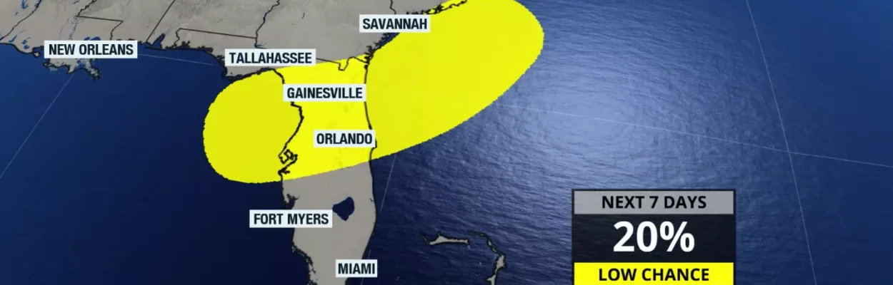
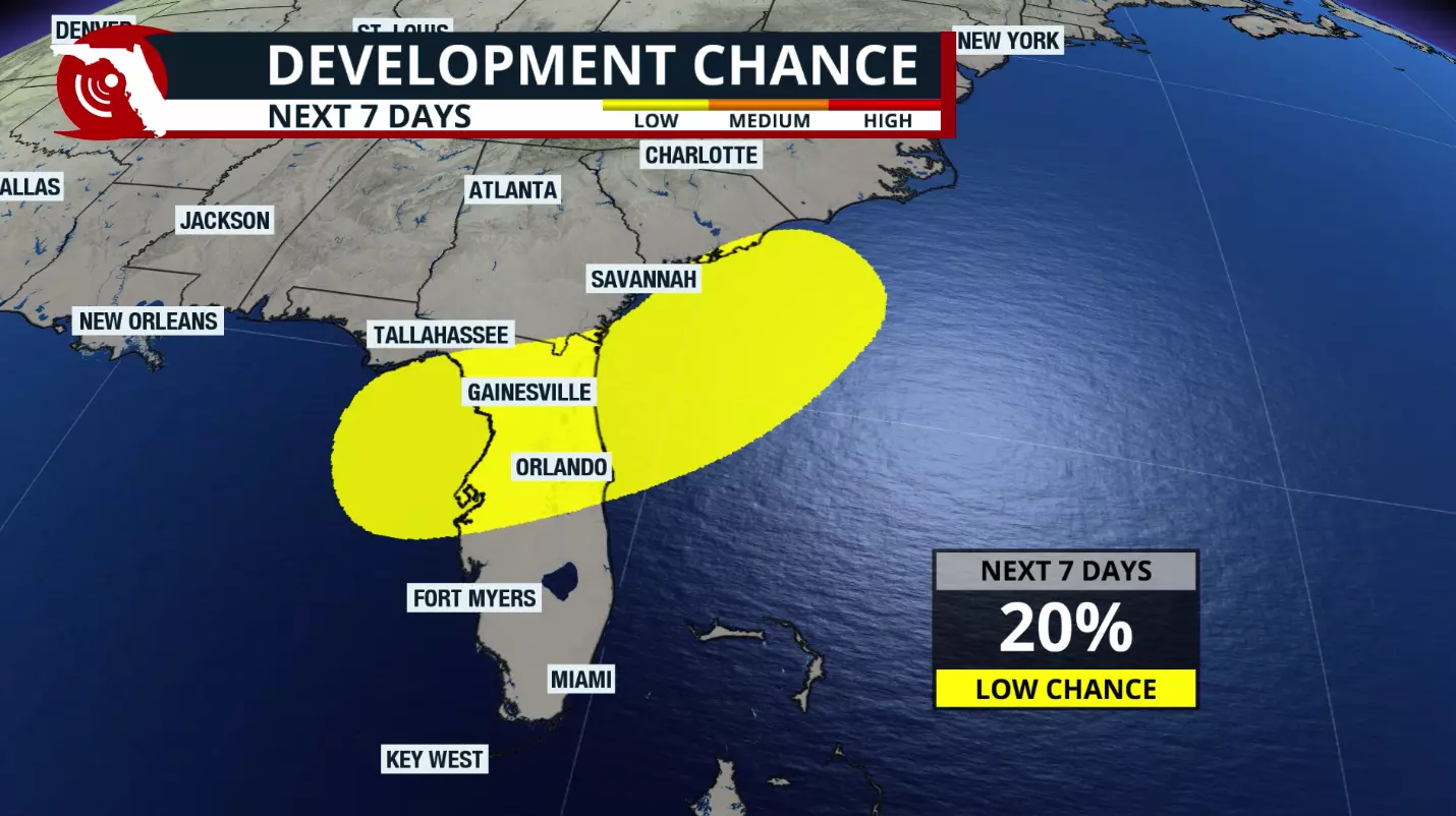
The National Hurricane Center has highlighted an area extending from Florida’s Big Bend to the coast of South Carolina — stretching across Northeast Florida — with a 20% chance of tropical development over the next seven days.
Some forecast models, particularly last weekend, hinted at the possibility of tropical development over the eastern Gulf. By Monday, however, most of those models had backed away from that scenario.
Jacksonville Today thanks our sponsors. Become one.
What does this mean for Florida?
With a weak frontal boundary nearby and a disturbance in the mid- to upper levels of the atmosphere, there is enough instability to support increased shower and thunderstorm activity.
However, these are not the primary ingredients that forecast models are focusing on for tropical development. Instead, rounds of heavy rain are expected to move across Central and North Florida and the eastern Florida Panhandle over the next several days.
There are also other factors that could either favor or hinder tropical development in the short term.
Jacksonville Today thanks our sponsors. Become one.
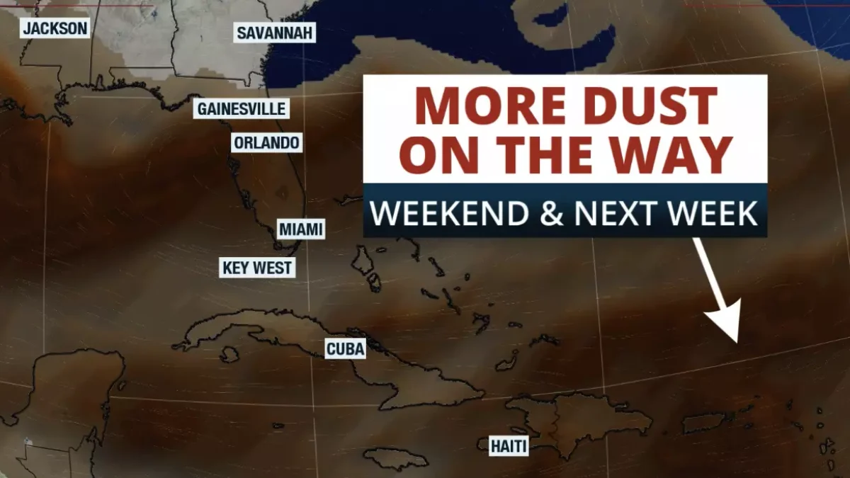
Over the eastern Gulf, there is currently a significant amount of Saharan dust, which is helping suppress tropical development.
The weak frontal boundary is expected to dissipate over the next few days. Forecast models are also indicating that a weak area of low pressure may develop over the eastern Gulf late this weekend.
This is the feature we will be monitoring closely as it moves across North Florida. If the system reaches the western Atlantic, environmental conditions could become somewhat more favorable for tropical development.
In short, Florida does not need to be concerned about tropical development this week.
As always, remember that we are in hurricane season. Even during an El Niño pattern, tropical systems can still develop in the Atlantic.
Early-season systems also tend to form closer to land, which can reduce preparation time. The key is to stay informed, have a plan and keep an eye on the tropics throughout the season.
Copyright © 2026 Storm Center