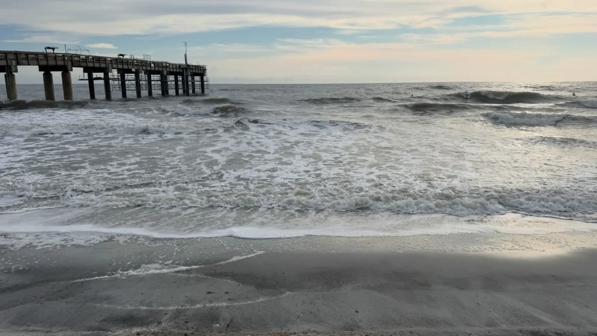
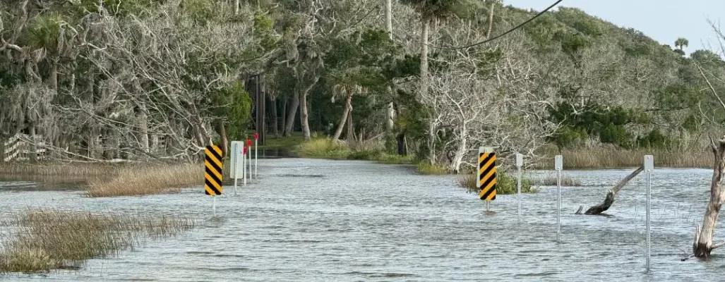
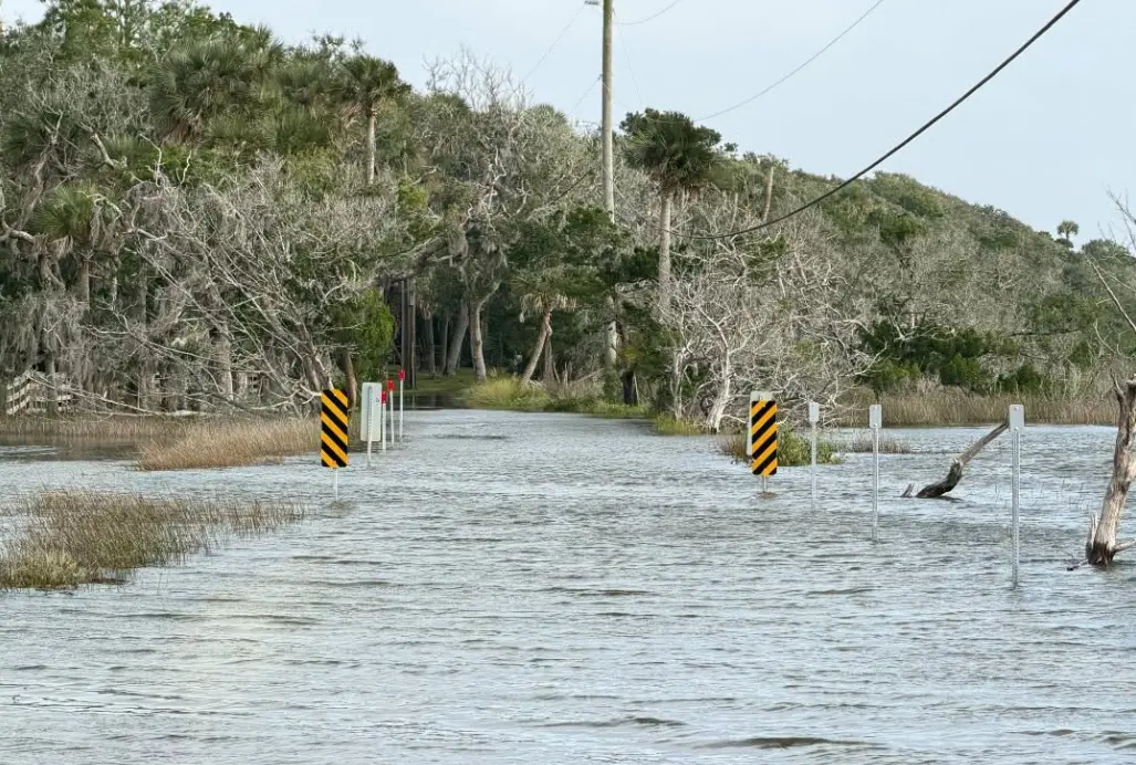
A Nor'easter and king tides caused coastal flooding at the Timucuan Ecological & Historic Preserve in Northeast Florida. | National Park Service
Published on October 26, 2026 at 11:10 am
Free local news and info, in your inbox at 6 a.m. M-F. Sign up for the Jacksonville Today newsletter.
Hazardous conditions along Florida’s East Coast are expected to persist through the week, with rough surf, dangerous rip currents, beach erosion and coastal flooding prompting warnings from the National Weather Service.
The event marks the second nor’easter to affect the region over the past two weeks, with persistent rough surf contributing to beach erosion in some areas.
Jacksonville Today thanks our sponsors. Become one.
The prolonged period of northeast winds is being driven by a ridge of high pressure over the eastern United States and a developing area of low pressure over the southwestern Atlantic.
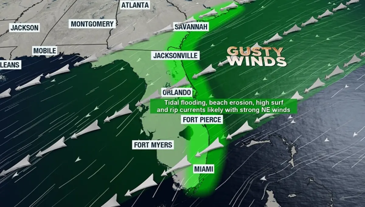
At times, the weather pattern has produced scattered showers, but rain chances are expected to decrease as the week progresses.
Wind gusts of 35 mph 45 mph will remain possible east of Interstate 95, while wind speeds are expected to decrease for inland locales.

Jacksonville Today thanks our sponsors. Become one.
Offshore, gale conditions will be likely, and small craft boaters are advised to stay in port if possible.
Beachgoers should also avoid entering the water with dangerous rip currents and waves as high as 11 feet along the Atlantic coastline.
Even experienced swimmers can run into difficulties if caught in a rip current, which can quickly carry them away from shore.