Periods of heavy rain can obstruct visibility on the road and make driving dangerous.
Published on October 1, 2026 at 5:03 pm
Free local news and info, in your inbox at 6 a.m. M-F. Sign up for the Jacksonville Today newsletter.
Florida is heading into a much wetter stretch of weather from Friday through the weekend and into next week, and while heavy rain could cause local flooding, much of it will help Florida’s ongoing drought.
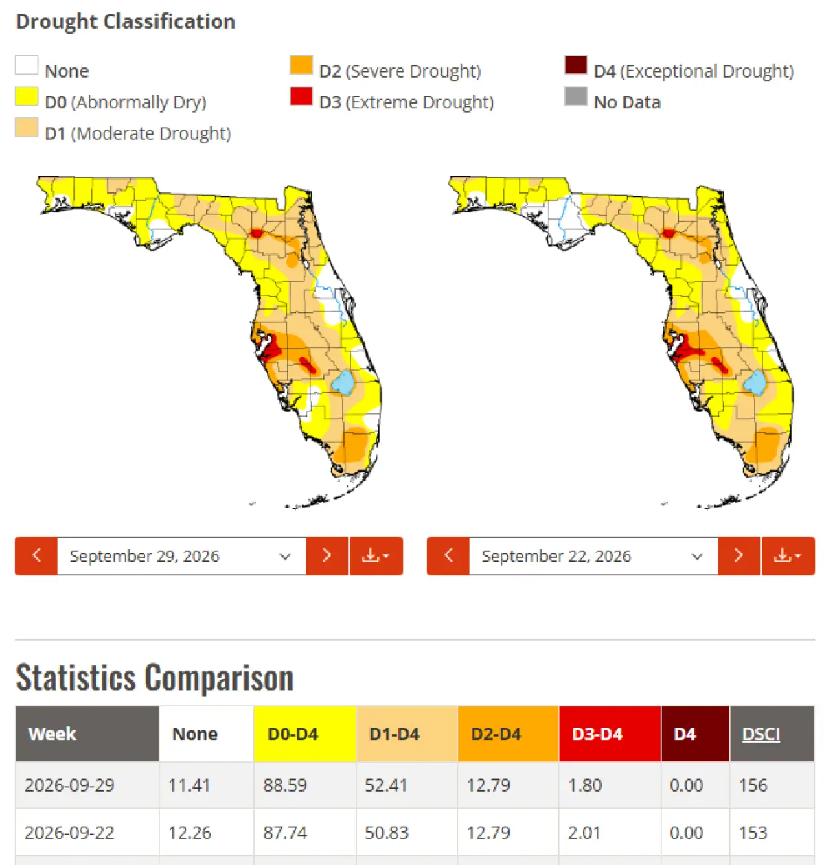
The latest U.S. Drought Monitor continues to describe drought across Florida as “persistently stubborn” following the summer. There was some improvement around the Miami metro during the past week, with roughly 1–4 inches of rain, but Florida’s typically spotty summertime rainfall meant drought conditions deteriorated slightly in other areas. That makes the developing wetter pattern particularly noteworthy.
Jacksonville Today thanks our sponsors. Become one.
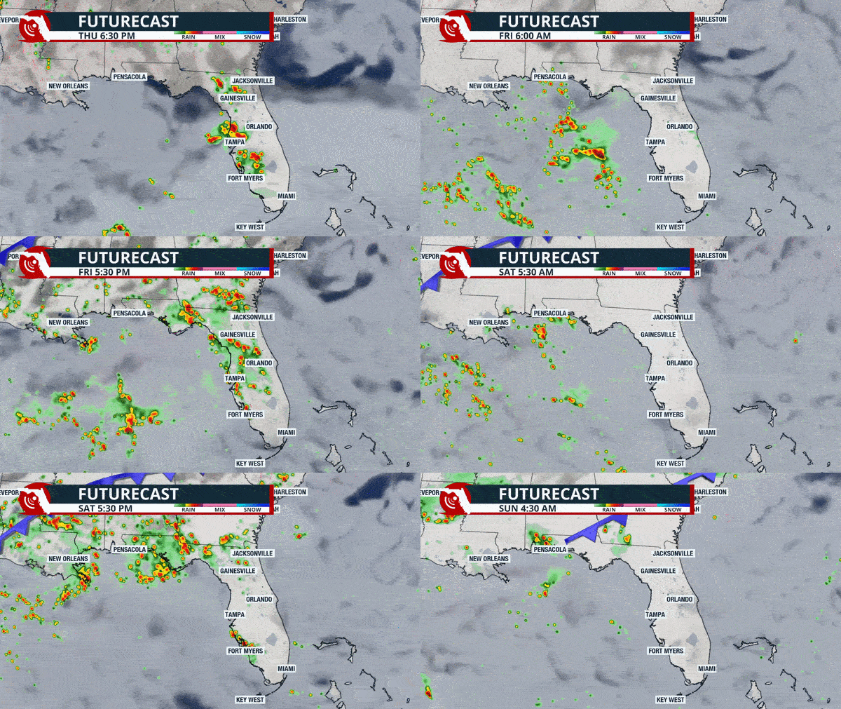
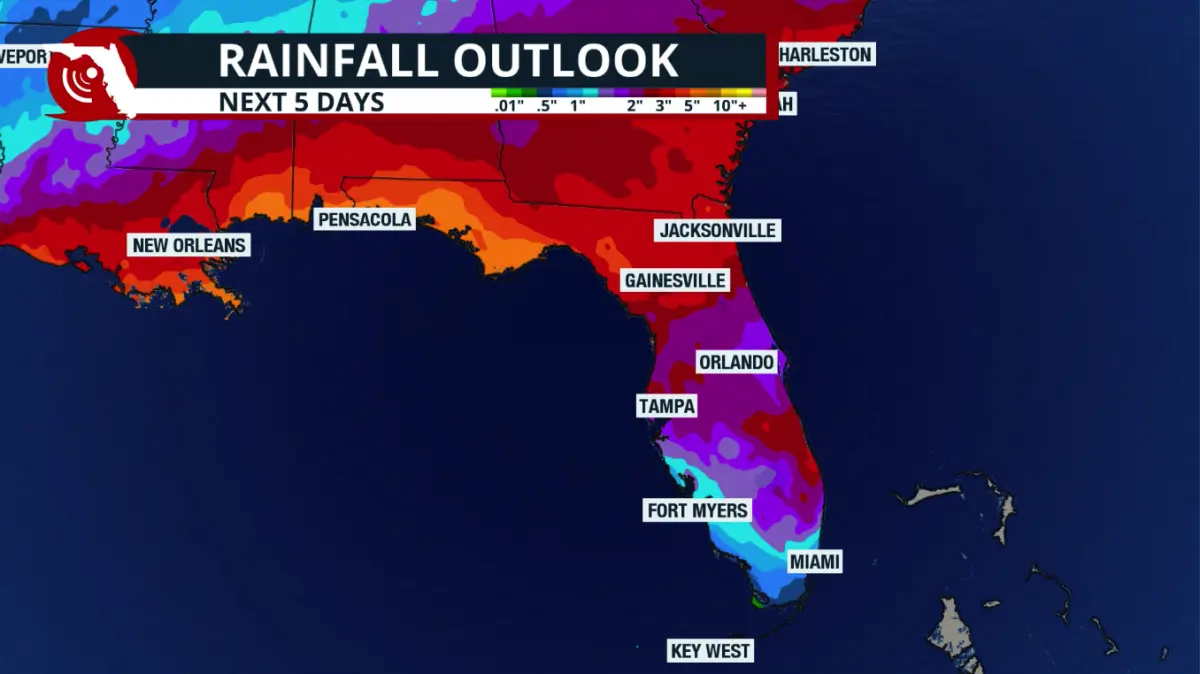
Across Northeast Florida, scattered showers and isolated thunderstorms will become more numerous heading into the weekend. NWS Jacksonville expects locally heavy rainfall Friday through the weekend, with waves of heavy downpours capable of producing brief localized flooding. The rainfall could become substantial with time. The Jacksonville forecast shows around 1.5–3 inches across much of the area through Monday morning, before totals climb considerably next week. By Thursday, 4–6 inches is forecast across much of Northeast Florida, with 6–8 inches possible around St. Augustine and Palm Coast.
Those amounts would certainly help replenish soil moisture in drought-affected areas, although drought improvement isn’t simply a matter of adding up forecast rainfall. How quickly the rain falls, where the heaviest bands develop, and how much reaches the soil and groundwater will all matter. The Drought Monitor is also a weekly assessment, so any improvement from this upcoming rain would show up in subsequent updates rather than on the current map.
The wet pattern won’t be confined to Northeast Florida. West-Central Florida and the Panhandle will see increasing opportunities for showers and thunderstorms, while South Florida continues to deal with periods of tropical downpours. The U.S. Drought Monitor’s outlook also points to above-average precipitation chances across Florida over the next 6–10 days, reinforcing the idea that this may be more than a one- or two-day break from the dry pattern.


Jacksonville Today thanks our sponsors. Become one.
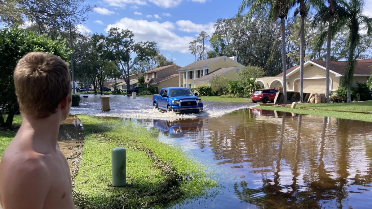
There is a tradeoff, though. After months of drought, several inches of rain falling over a short period can still produce flooding. In Northeast Florida, NWS Jacksonville specifically highlights the possibility of localized brief flooding from waves of heavy downpours, while stronger thunderstorms could produce gusty winds.
Conditions along the Atlantic coast may also become increasingly rough. Jacksonville highlights the potential for local nor’easter conditions next week, bringing gusty coastal winds, dangerous rip currents, minor to moderate tidal flooding, and some beach erosion.

So, from a drought perspective, this is largely welcome rain. Florida has struggled with persistent areas of drought through the summer, and repeated rainfall over several days is generally more useful than an isolated afternoon thunderstorm. At the same time, some locations could go from needing rain to dealing with too much of it in a relatively short period.
Importantly, no tropical system is currently responsible for this forecast. The Jacksonville tropical outlook lists no monitored systems or expected local tropical impacts.
South Florida weekend forecast
South Florida settles into a more typical rainy-season pattern this weekend. It won’t be a washout, but scattered afternoon showers and thunderstorms remain possible both days.
An easterly breeze will favor lower rain chances along the Miami-Dade, Broward, and Palm Beach coasts, with storms becoming more numerous over the interior and Southwest Florida during the afternoon and evening. Highs will generally reach the upper 80s to around 90°F.
Beachgoers should also be careful: a high risk of rip currents continues along the Atlantic beaches through at least Saturday evening. Rain chances increase again early next week. We will bring you more about the next´s rain event over the weekend.
Copyright © 2026 Storm Center