Published on September 15, 2026 at 9:39 am
Free local news and info, in your inbox at 6 a.m. M-F. Sign up for the Jacksonville Today newsletter.
Get those pumpkin spice lattes ready. Fall flavors will be everywhere across the Panhandle, North Florida and Central Florida this week.
After a very hot start to the week, temperatures will reach the low to mid-90s across much of Florida, with parts of the Panhandle climbing into the mid-90s. Overall, the weather remained mostly stable across South Florida as Saharan dust limited afternoon shower and thunderstorm development Monday afternoon, and most shower activity focused in and over Southwest Florida.
Jacksonville Today thanks our sponsors. Become one.
Central and South Florida will see higher rain and thunderstorm chances through the beginning of this week, and moisture and an unstable atmosphere will allow for numerous showers and thunderstorms to spark on Tuesday afternoon.
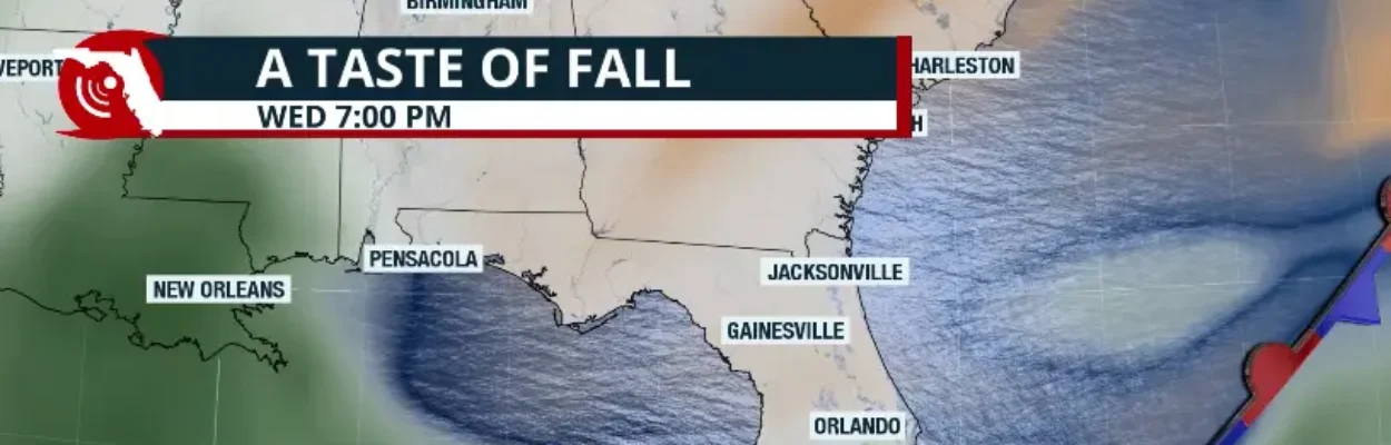
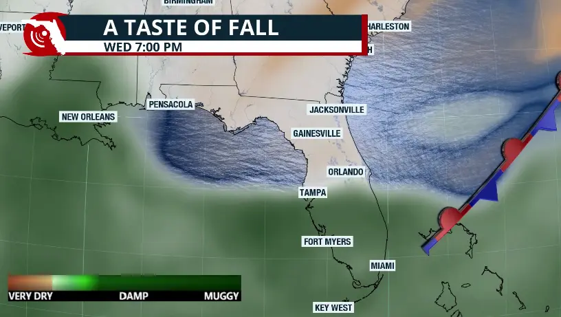
Expect another hot day across the southern half of the peninsula on Tuesday, and even the Panhandle will have highs in the low to mid-90s, just before a cold front moves over the Sunshine State on Wednesday, allowing a much drier air mass to filter in, lowering those sticky dew points we’ve had for several weeks.
This means drier air will begin filtering into the Panhandle and North Florida on Wednesday, with winds shifting mainly out of the northeast.


Jacksonville Today thanks our sponsors. Become one.
A swath of very dry air will dominate the Panhandle through the second half of the week. This will lower humidity levels, and although temperatures are likely to remain in the low 90s, it will feel much more comfortable because of the lower humidity.
The biggest change will be felt across North Florida and Central Florida. On Wednesday, a few showers and increased cloud cover may remain as the front pushes through the northern portion of the Interstate 75 corridor, but by evening, drier air will begin to move in.
By Thursday, temperatures will range from 85 degrees to 88 degrees across Central Florida, and humidity will be noticeably lower. Rain and thunderstorm chances will remain mainly south of Orlando into South Florida, except for a few morning showers streaming from the northeast that will mainly affect coastal areas of northeast Florida and the northern portion of the Space Coast, but they will move quickly.
The cold front will lose its punch as it pushes south and dissipates just east of Florida. We do not expect significant changes across South Florida, but compared to the rest of the state, showers and thunderstorms will remain present for the second half of the week. Temperatures will remain near average for this time of year, generally in the upper 80s to low 90s.
As the front passes, winds will increase Wednesday and Thursday, with gusts up to 35 mph on Wednesday and up to 30 mph on Thursday, mainly along the coast. There will be a high risk of rip currents, especially along Florida’s Atlantic coast. Seas will also build on Wednesday, reaching up to 9 feet, while on Thursday they are expected to range between 4 and 7 feet.
Moisture will move back north just in time for the weekend. High pressure east of Florida will shift the winds back to the southeast throughout much of the weekend. This will keep most afternoon shower and thunderstorm activity confined to the western half of Florida and inland areas.
The sea breezes could also develop by mid-afternoon and spark a few thunderstorms across the interior. High temperatures this upcoming weekend are likely to remain hot, and increasing humidity will bring back sticky conditions.
Copyright © 2026 Storm Center