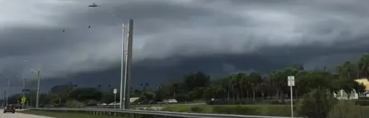
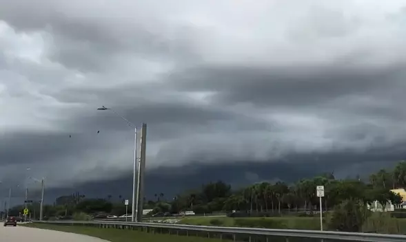
Storm clouds hang on the horizon during rainy season.
Published on October 17, 2025 at 9:33 am
Free local news and info, in your inbox at 6 a.m. M-F. Sign up for the Jacksonville Today newsletter.
Florida’s rainy season lasts about six months, for most cities, between May and October.
In some locations, especially those in the north, the rainy season typically ends around the end of September and begins between late April and early May.
Jacksonville Today thanks our sponsors. Become one.
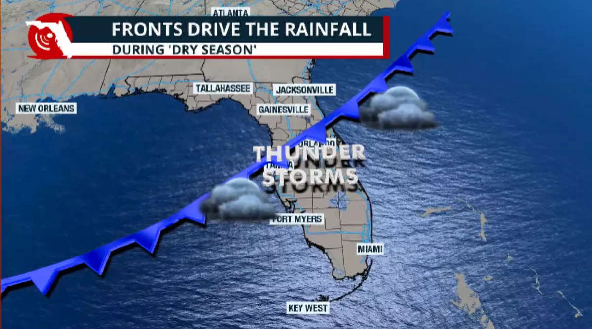
These last few weeks of the rainy season are crucial, and we should not let our guard down. After all, this transitional pattern can bring a variety of phenomena that often produce the last batch of heavy rains, which can lead to flooding, such as tropical systems or a lingering front that channels a significant amount of tropical humidity, resulting in what seems like endless rounds of rain for several days.
We are still in hurricane season.
This season has not been a quiet one. Sure, only one system has affected the U.S. as of Oct. 15, but the month of October is famously known for producing tropical systems, including hurricanes that have struck Florida.
October is historically the second most active month for hurricanes for Florida, as these cyclones tend to develop closer to home, in the western Caribbean and over the Gulf.


Jacksonville Today thanks our sponsors. Become one.
The most notorious storms that have affected Florida in October are Milton, Michael, Matthew and Wilma — the last one in late October 2005.

We have already started to receive a cold front moving across the state. These are a welcome change from the scorching summer heat.
The issue arises when the atmospheric pattern is weak, and these fronts either do not move or continue to move slowly.
In recent weeks, the pattern has exhibited more movement, with the front being contained up north. But when the pattern is weak, cold front lose their punch and become stationary.
This happened frequently in the spring of last season, as several fronts became stationary and brought several days of heavy rain that affected Central and parts of South Florida, depending on the location where they parked.
Heavy rain and deluges
Stationary fronts not only allow the atmosphere to become more unstable, but if there is still high humidity, they can be the catalyst for heavy rainfall and deluges to occur. Additionally, there are times when a significant amount of deep tropical moisture is present, and a stationary front can channel this deep moisture directly over the Sunshine State, often leading to significant flooding issues.
Keep in mind that during this month, it is no coincidence that tropical systems tend to form closer to home. Stationary or stalled fronts could leave enough energy behind to develop tropical systems near Florida, which could bring rains on top of rains — first due to the stationary front, then, depending on track, more rain over the same regions.

As we move out of the rainy season and into the cooler months, the lack of heat doesn’t spark the sea breeze.
The sea breeze is the primary driver of thunderstorms during the rainy season, excluding tropical cyclones. With less heat present, any rainfall during Florida’s rainy season is heavily dependent on the passage of cold fronts.
Many fronts lack sufficient moisture to create thunderstorms. There are also weather patterns that could keep the strongest storms, along with their cold fronts, focused well north of Florida.
Suppose a La Niña persists during the winter months. In that case, we can expect a drier and warmer winter, as the jet stream tends to be displaced further north, keeping storms and fronts over northern latitudes, which are generally away from Florida.
As of now, there is a higher chance for La Niña to stay for the winter months.
There are the fronts that bring drastic changes in temperatures, though, and this contrast allows the atmosphere to mix and become significantly unstable.
We are also still surrounded by water, so moisture is present, allowing deep thunderstorms to form. This is when we begin to look for strategic signs of severe weather, which are often more pronounced in specific areas and at certain times, as cold fronts move from north to south.
The drought and wildfires
The drought has improved between the last week of September and the first week of October, especially across the East Coast of Florida. In the previous week, the rain has been more intense along the East Coast, which will finally put a dent in the drought.
However, across North Florida, the drought has worsened, as extreme drought now affects the central portion of Interstate 10 in the Panhandle.
In the short term, we’re looking at a cold front arriving this weekend across the Panhandle. This front could bring some rain showers to the northern portion of the state, particularly along the Interstate 10 corridor.
So far, it does not appear to be a significant rain event across the Panhandle, so we do not expect a substantial effect on the drought levels.
There also will be a high-pressure system settling in place during the week of Oct. 20. And conditions will remain relatively dry at least through Oct. 28.

We will keep an eye on any stalled systems or potential tropical systems that may develop nearby that could bring changes. However, as of now, we are becoming increasingly dependent on cold fronts to alleviate the drought.
Wildfires can happen at any time of the year. Florida is a state with a year-round wildfire season. The peak typically occurs during late spring and early summer, as we transition out of the dry season.
It is during the dry season that we produce the main ingredient: dry vegetation and soil, which makes the peak stretch to more or less activity.
Considering the outlook from the National Oceanic and Atmospheric Administration, which predicts a La Niña winter, we anticipate drier-than-normal conditions during the winter months. If this holds, we could be looking at a worse drought, which could potentially produce more fuel available for wildfires to feed on.

Remember that wildfires could happen at any time of the year. If the vegetation and soil are dry, and we also have dry air and strong winds, as often occurs during the winter months, we could be looking at more days with fire conditions present.