Published on June 2, 2025 at 12:33 pm
Free local news and info, in your inbox at 6 a.m. M-F. Sign up for the Jacksonville Today newsletter.
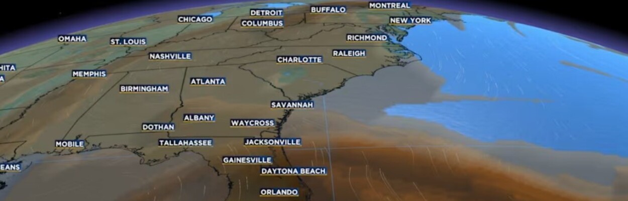
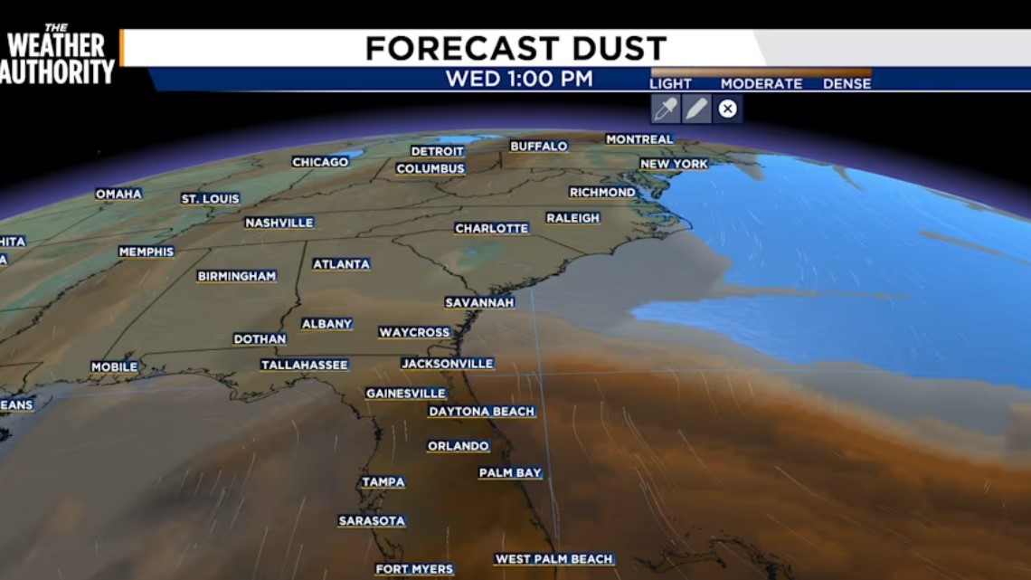
As a massive plume of Saharan dust makes its way from Africa and across the Atlantic, it could affect Florida in multiple ways.
Specifically, the Saharan Air Layer can suppress the development of tropical cyclones. It also can suppress cloud development and storms.
Jacksonville Today thanks our sponsors. Become one.
The layer has characteristics of warm, dry air with strong winds.
The dust layer is expected to increase Wednesday and remain dense on Thursday and Friday.
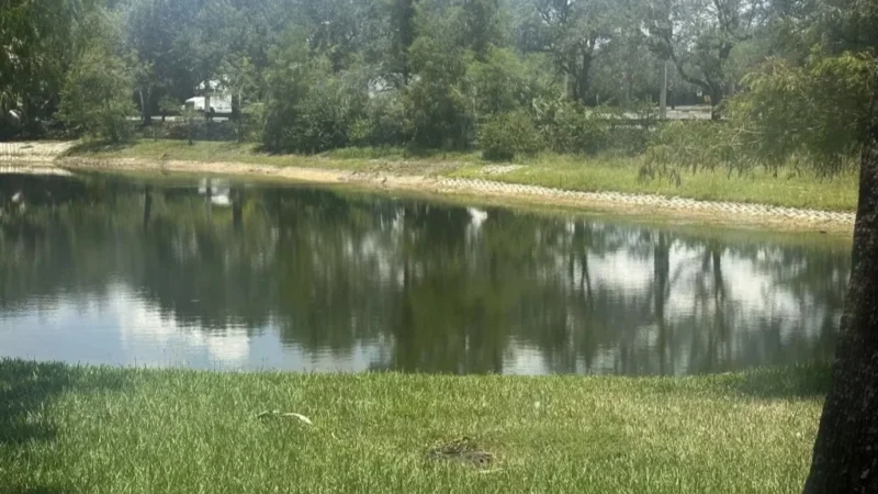
WATCH THE SKY: As it looms for the next couple of days throughout Florida, you may notice a hazy white look during the day in the sky and an orange glow during sunsets.


Jacksonville Today thanks our sponsors. Become one.
HEALTH CONCERNS: If you are vulnerable to respiratory issues such as asthma or chronic lung disease, you could be more vulnerable and affected by the dust exposure.
This story was produced by News4Jax, a Jacksonville Today news partner.