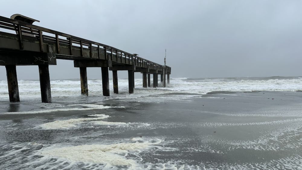
Floridians spent the week preparing for the arrival of Hurricane Milton, which — in Jacksonville, at least — didn’t bring as much damage as it could have. Still, the storm left some flooding in its wake, so our number this week is somewhat soggy:
14.06 feet
After Milton made its way into the Atlantic on Thursday, the St. Johns River peaked at just over 14 feet at the USGS monitoring station near the Acosta Bridge in Downtown Jacksonville. That’s a record-setting level for Oct. 10 — and more than 2 feet higher than average.
The river has exceeded this height just twice in recent history: during Tropical Storm Nicole in November of 2022, when it reached almost 15 feet, and immediately after Hurricane Irma left the state on Sept. 11, 2017, when it rose to 16 feet to set the modern-era record.
According to the St. Johns River Water Management District, Milton’s strong, northeasterly winds caused the river to reverse its flow for a few days, which, along with heavy rainfall upstream in Central Florida, increases the chance for flooding along its banks in the Jacksonville area.
“The St. Johns River is a very slow-moving river, meaning it can take weeks for storm-related rainfall to flow through the watershed and for river levels to return to normal,” said St. Johns River Executive Director Mike Register in a news release Thursday.
Along with the rain came wind that took out power for many in our area, especially in St. Johns County.
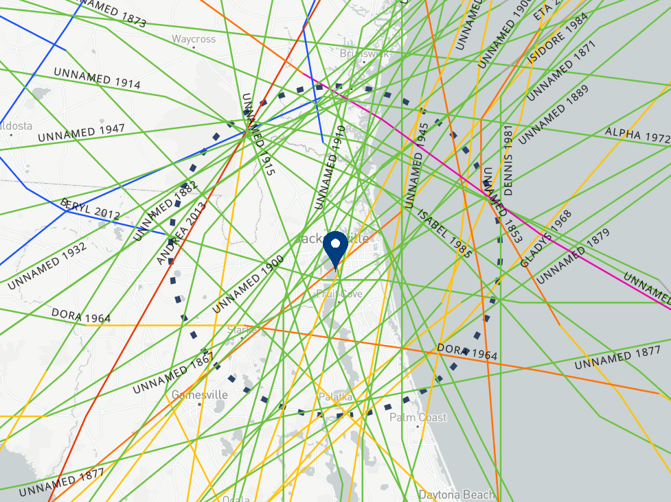
And while Milton’s center passed far south of Jacksonville, Florida’s First Coast has seen its share of direct brushes by tropical storms and hurricanes over the years. The National Oceanic and Atmospheric Administration has recorded 49 storms passing through a 50-mile radius of Jacksonville.

Want to wade down memory lane? Check out the NOAA Historical Hurricane Tracks tool to see how each of them entered and exited our area.


