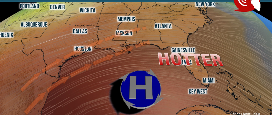
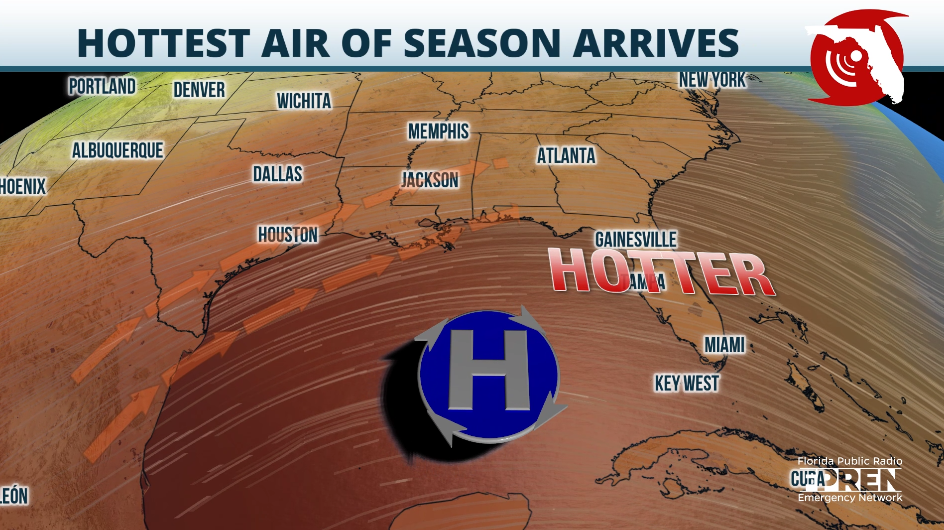
Florida’s hottest months have not officially arrived, but this week temperatures could reach the hottest so far this year, and heat indices could reach the triple digits in places as far north as Jacksonville.
Luckily, the heat will be quickly tamed, for a few days, by a cold front that will come to the rescue saving the weekend for at least the northern half of the Sunshine State.
The heat arrives due to the winds shifting in response to the large low-pressure system located over the Great Lake area, which is dragging all the severe weather from west to east, producing several violent tornadoes across the Central Plains on Monday and the Ohio Valley on Tuesday.
The winds shifted from the south on Wednesday and will be mainly from the south-southwest throughout the rest of the workweek across much of Florida, allowing plenty of moist warm air to flow over the Peninsula.
From Wednesday through Friday, temperatures will range between the mid- to upper-90s across Central and North Florida. Orlando, Gainesville and Jacksonville will experience humid conditions, which will make the temperatures feel as if they were around 105 degreees. For Orlando and Jacksonville, temperatures could break previous records established in 2009 and 1962, respectively.
South Florida will also be hot, with a new record high temperature in West Palm Beach likely coming on Friday afternoon as it could surpass 94 degrees. Miami-Dade and Broward counties will also be close to records hitting the mid-90s in the afternoon hours.

The evenings will not bring a big relief as the humidity will stay in place and there will be a heat index running about 5 to 8 degrees higher than what the thermometer says, even overnight. Low temperatures could also tie or break new records across much of Florida from Thursday through Saturday morning.
The hotspots overnight will be mainly focused across Tampa, Orlando, and southwest Florida, with low temperatures that will struggle to drop below 75 degrees, likely breaking many warm-low temperature records.

Make sure to stay hydrated, drinking plenty of water throughout the day. Take frequent breaks, especially if you work outdoors or plan to be doing any activities outdoors. If possible, prevent doing such activities during the peak hours of the day between noon and 4 p.m. Dress with light colors and fabrics.
9(MDEwNzczMDA2MDEzNTg3ODA1MTAzZjYxNg004))


