
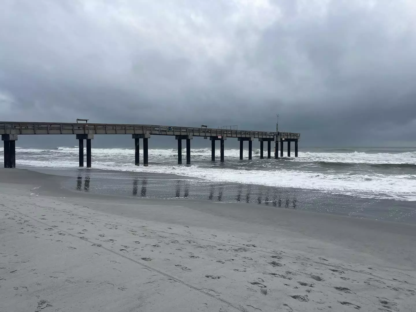
Clouds roll in over St. Augustine Beach.
Published on October 2, 2025 at 10:01 am
Free local news and info, in your inbox at 6 a.m. M-F. Sign up for the Jacksonville Today newsletter.
After a roller-coaster start to fall, NOAA’s Climate Prediction Center expects the possibility of warmer-than-average temperatures across much of the country, including Florida, during October.
The month is usually one of the more difficult periods for extended outlooks, as temperatures can vary widely depending on the jet stream.
Jacksonville Today thanks our sponsors. Become one.
An El Niño phase of the El Niño–Southern Oscillation often produces a warmer fall for much of the U.S., while La Niña is generally associated with cooler, wetter conditions.
This year, neither phase is in control of climate patterns, a neutral status sometimes referred to as “La Nada.”
During a neutral event, there are usually fewer kinks in the jet stream, so any hint of chilly Canadian air tends to stay bottled up well to the north.


Jacksonville Today thanks our sponsors. Become one.

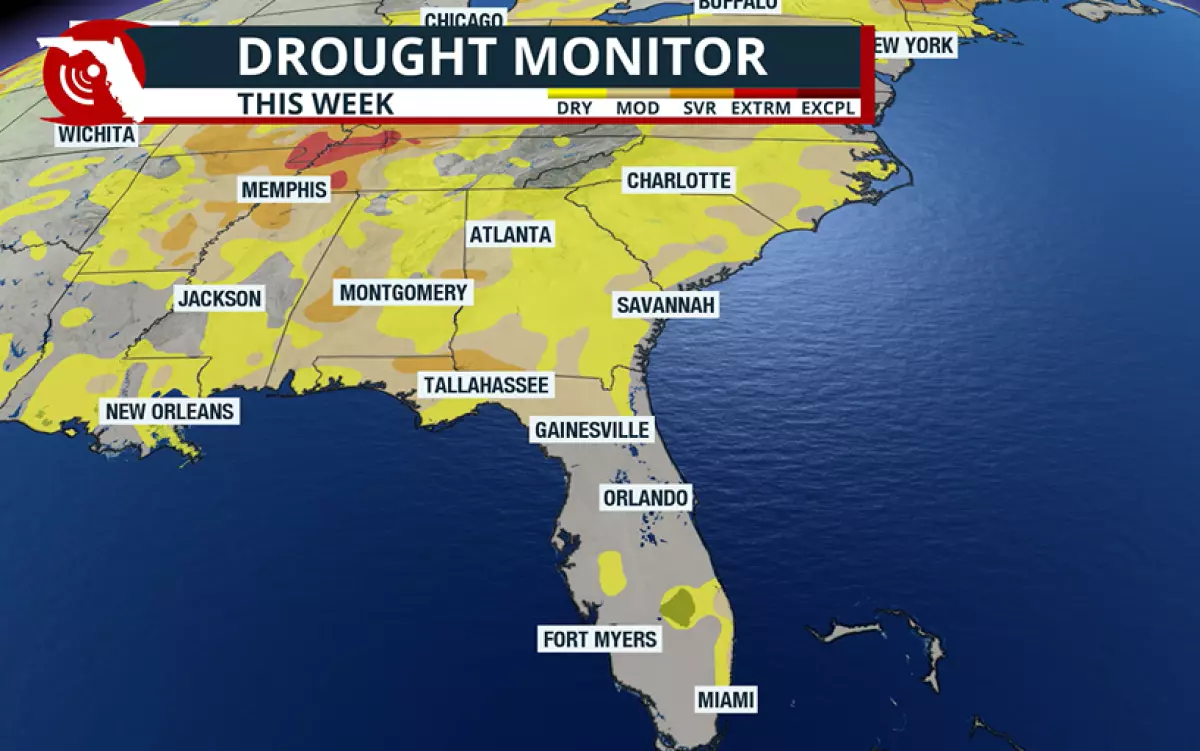
On the precipitation front, NOAA expects higher probabilities of rainfall, which can be viewed as both good and bad news.
North of Interstate 4 along Interstate 10, drought conditions have been intensifying in recent weeks, so any added precipitation will be relief from the dry weather.
Meanwhile, communities in southeast Florida such as Miami and Fort Lauderdale are waterlogged, having received 10 to 20 inches of rainfall since the start of September.
While South Florida can always use rainfall, seeing it so close to September’s deluge may lead to isolated flooding risks.
Warm waters
With the departure of Hurricane Humberto and Imelda, the tropics are expected to quiet down again across the Atlantic basin.
October is typically the third-busiest month of the hurricane season, producing an average of three named storms and at least one hurricane. That means the risk of tropical activity affecting Florida is not over.
Over the coming weeks, forecasters will keep an eye on the western parts of the basin, including the Gulf and Caribbean, for development. These areas are climatologically favorable, with warm waters and less hostile upper-level winds.
So far, nine named storms have formed this season, with four reaching hurricane strength — well below preseason forecasts.
The only U.S. landfall came from Tropical Storm Chantal, which struck near Litchfield Beach, South Carolina, on July 6.
The latest landfalling cyclone to strike Florida was Hurricane Kate in 1985, when the Category 2 storm came ashore in the Panhandle as a weakening system on Nov. 21.