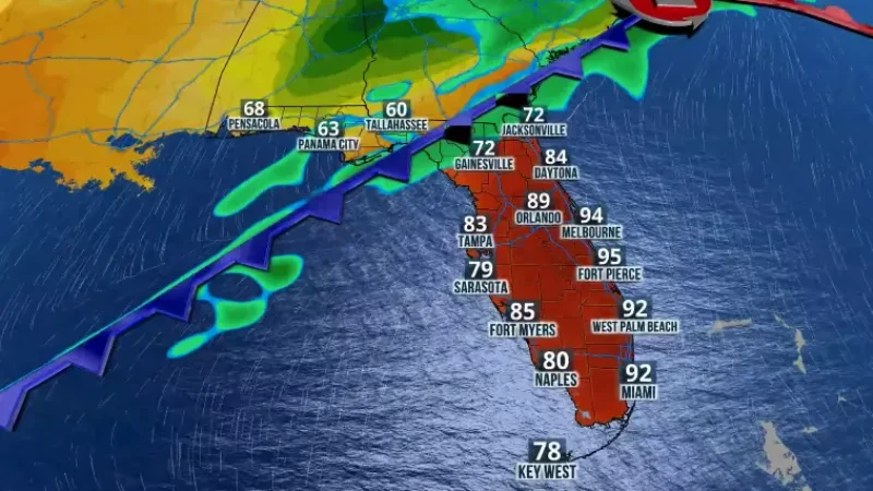
The stationary front that has maintained the west-to-east moisture flow and instability primarily across Central Florida will become a warm front as it is associated with an incoming low-pressure system.
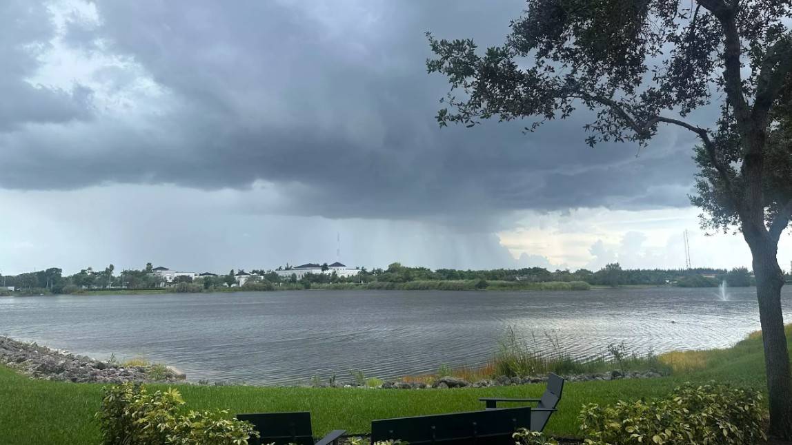
The transition will happen over the holiday weekend. The approaching low-pressure system, combined with typical local effects such as sea breezes and heat, will increase shower and thunderstorm activity across much of the state just in time for the holiday.
The south-southwest flow will keep the showers and thunderstorms mainly focused east of Interstate 75 from South Florida through Central Florida. By late afternoon, the radar is likely to become more active and illuminate the western portion of the Peninsula.

Across the Panhandle, clouds will increase during the morning, with rounds of heavy showers and thunderstorms along I-10. The incoming influx of showers and storms will continue on Saturday and likely affect the first weekend of most Florida universities, as well as any first football games happening in the Panhandle through North Florida.
Sunday morning will likely be a wet one across North Florida, and the heat will ignite the sea breeze, likely developing showers and thunderstorms earlier in the day across South and Central Florida.

Labor Day is likely to maintain a similar active pattern, as the front will become stagnant over the state, keeping showers and thunderstorms widespread, especially in the afternoon hours.
It’s probably not the best weekend to be out at sea. Local thunderstorms may bring frequent lightning and occasionally strong winds. These winds also could increase the surf and winds near and offshore.


