Published on May 22, 2025 at 3:38 pm
Free local news and info, in your inbox at 6 a.m. M-F. Sign up for the Jacksonville Today newsletter.
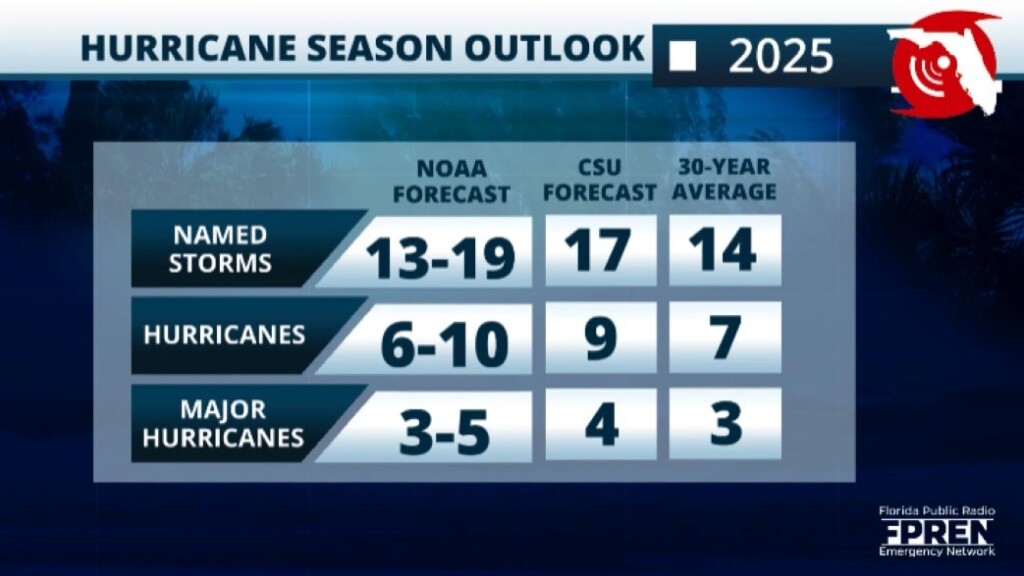
The National Hurricane Center has released its official forecast for the 2025 Atlantic Hurricane season.
It calls for above-average activity with 13 to 19 named tropical systems. Six to 10 could become hurricanes, and three to five of those could become major hurricanes.
Jacksonville Today thanks our sponsors. Become one.
An average season consists of 14 named systems, seven hurricanes and three major hurricanes.
The key factors for this forecast are ENSO neutral conditions and warm tropical Atlantic waters. Experts and researchers focus on years where atmospheric conditions were similar.
The forecast of Phil Klotzbachat at Colorado State University, released in April, explained that this season could compare to the 1996, 1999, 2006, 2008, 2011 and 2017 seasons. It is essential to know that this comparison does not state landfall storms, just how similar the atmospheric conditions were in those years and in 2025.

Jacksonville Today thanks our sponsors. Become one.
Ken Graham, director of the U.S. National Weather Service, stated that 460 miles was the average error in a three-day track in 2005. Today, this is down to 200 miles.
Forecasts have improved significantly in the last decade thanks to the hard work of scientists and model improvements over the previous decade. This shrinking margin of error makes a vast difference between millions that don´t have to be evacuated, saving millions, and most importantly, saving lives.
What is ENSO neutral?
Neutral conditions are when sea surface water temperatures are close to average. But this also means global weather patterns tend to be less predictable than during El Niño or La Niña.
El Niño Southern Oscillation could be positive, negative or neutral. A positive trend is called El Niño. This is when surface water temperatures over the Pacific are warmer than average. It is measured over a few months and has particular parameters and areas, but it has global implications.
When El Niño is present, there tends to be more vertical wind shear over the Atlantic, limiting the development of tropical systems.
A negative trend is called La Niña. This is when Pacific water temperatures are cooler than average, and over the Atlantic, causes the vertical wind shear diminishes, creating more conducive conditions for tropical systems to develop.
If there is little wind shear over a low-pressure system growing, the system has nothing to “chop off” the top layer of its structural growth from there.
If we add the fuel (the warm ocean temperatures), then a storm is free to intensify. There are more ingredients for a tropical system to form, but these are the main ones that signal if a season is busy.
Atlantic tropical surface water temperatures are also a significant factor in determining whether conditions are more prone to tropical systems developing.
This year, although still warm and warmer than usual for this time of year, water temperatures are not at record levels. But they do remain warm. Warm water is fuel for tropical systems, feeding their growth and strengthening.
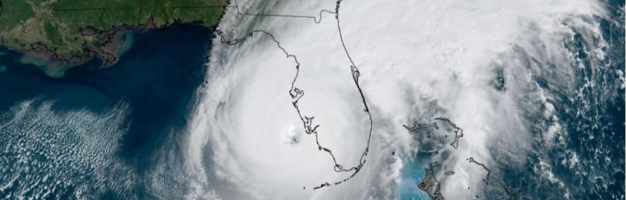
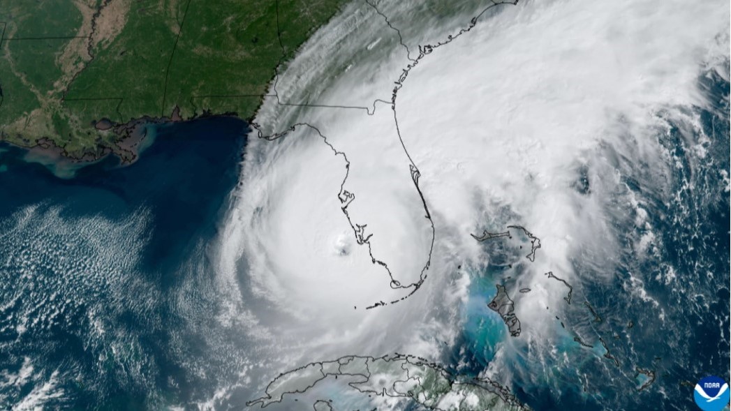
Climate change, especially warmer ocean waters, is leading to rapid storm intensification. If a system intensifies rapidly just before making landfall, impacts could quickly become more dangerous, leaving less time for preparations and evacuations. These hurricanes tend to bring the most devastation to coastal communities.
It is impossible to know if or how many storms could make landfall at this point. To know this, there needs to be a system, either close to land or developed with a well-defined center of circulation.
Get ready for the season regardless of the seasonal forecast: It takes only one storm to make it a busy season.
There are plenty of actions you can take now to prepare for the season ahead.
- Have a plan.
- Know if you live in an evacuation zone.
- Gather important documents.
- Revise your insurance policy beforehand to ensure you are covered and up to date with the latest changes..
For more information about ways you can prepare for the season, go to Floridadisaster.gov