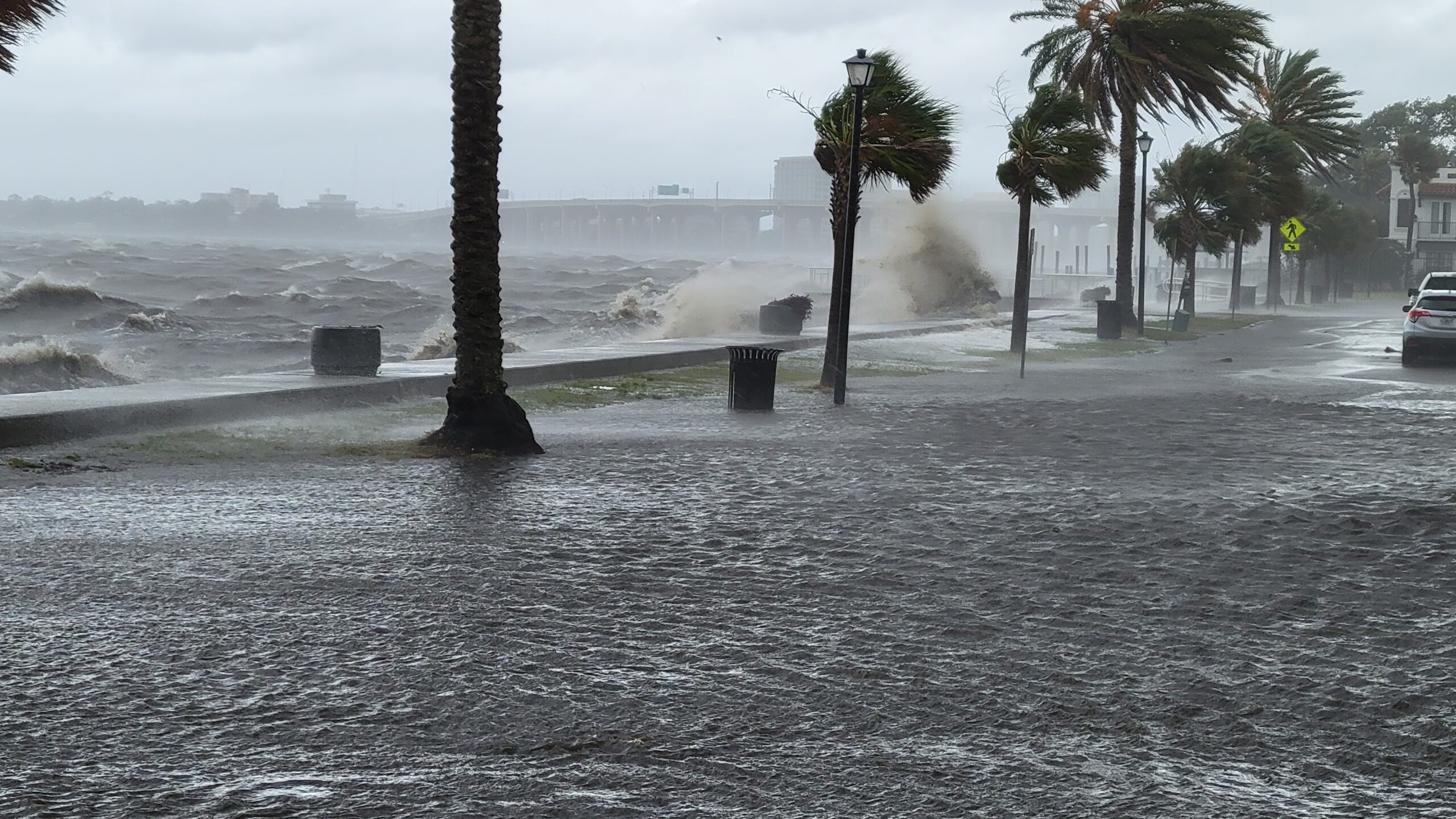
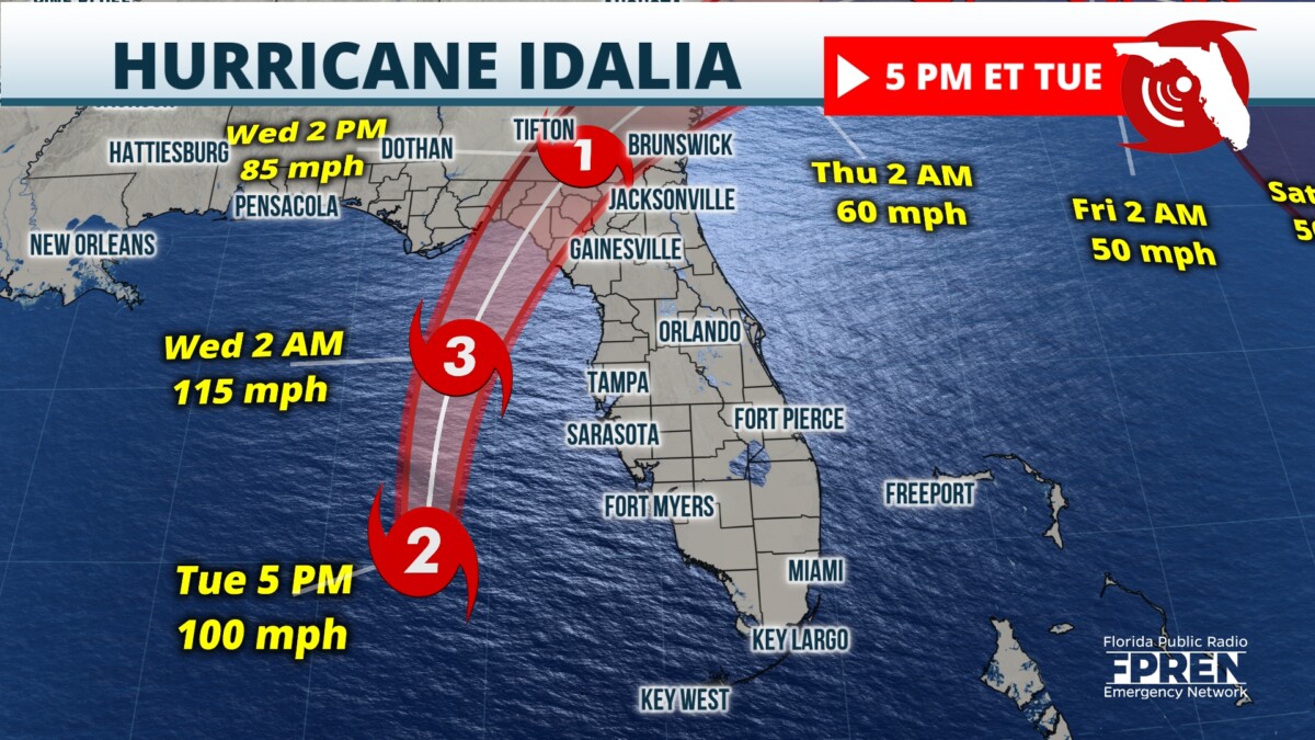
Hurricane Idalia made landfall about 7:45 a.m Wednesday near Keaton Beach and moved on to Northeast Florida, where its winds whipped the region and churned water over its banks.
Idalia hit Florida with sustained winds of 125 mph, making it a powerful Category 3 hurricane. It had intensified briefly to a Category 4 storm overnight before weakening slightly.
Keaton Beach is about 75 miles southeast of Tallahassee.
Idalia was blasting southern Georgia late Wednesday morning.
Jacksonville remained under a tropical storm warning much of the day, meaning winds of at least 39 mph were likely. The National Weather Service in Jacksonville issued a tornado watch for the area until 3 p.m.
Sustained winds of 35 mph were recorded at Jacksonville Beach, with gusts over 50 mph.
In a 11 a.m. update, the National Hurricane Center predicted rainfall of 1 to 4 inches across Northeast Florida with storm surge along the coast of 1 to 3 feet.
The storm surge in southern Georgia was predicted to be 2 to 4 feet.
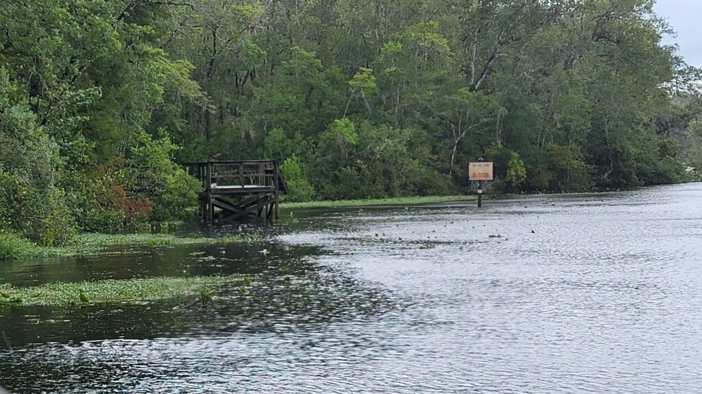
Julington Creek was already overflowing its banks about 8 a.m. at the city’s Hood Landing boat ramp in Mandarin. River Road in San Marco was partly flooded about 11:15 a.m. as the St. John’s River splashed over the sea wall.
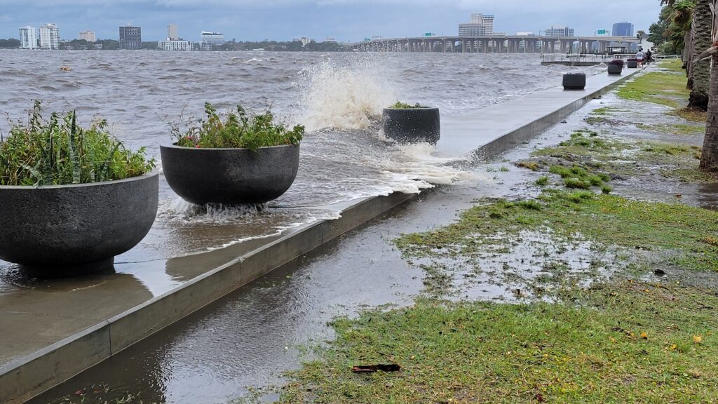
Waves washed over sea walls Downtown as well. And the creek in River Oaks Park off Hendricks Avenue was overflowing its banks and creeping into Brookwood Road by early afternoon as winds rose.
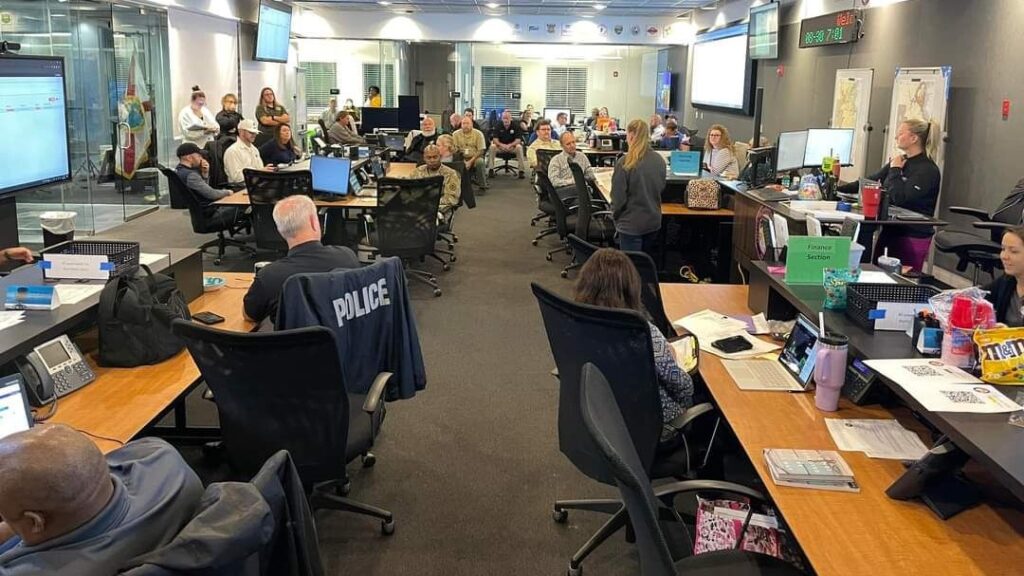
“This thing’s powerful,” Gov. Ron DeSantis said during a news conference at 6:30 a.m. at the state Emergency Operations Center. “If you’re inside, just hunker down until it gets past you. You don’t want to be messing around with these winds.”
READ MORE ABOUT HURRICANE IDALIA
- Power outages stretch across Jacksonville area
- Memorial Park balustrade falls victim to another hurricane
- Duval Schools will resume classes Friday
- Condemned building collapses onto street during storm
A huge swath of inland Florida, Georgia and the Carolinas will see life-threatening flooding over the next day, forecasters said.
The Hurricane Center said strong winds would spread inland across portions of northern Florida and southern Georgia near Idalia’s center where hurricane warnings were in effect. People in those areas should expect long power outages, the Hurricane Center said in a update at 5 a.m.
Idalia was expected to weaken relatively quickly after that. The official forecast showed a 74-mph hurricane near the Georgia-South Carolina border Wednesday evening. Idalia should become a tropical storm Wednesday evening, the Hurricane Center said.
St. Johns County announced at noon that it was lifting its mandatory evacuation order and would close storm shelters at 2 p.m.
Clay County was to close its shelters at 5 p.m.
DeSantis said more than 30,000 utility crew members were “stationed and ready to go” to restore electricity after the storm. JEA CEO Jay Stowe said 2,100 employees — plus 500 workers from outside the area — were ready to attack outages.
As of 11 a.m., 286,565 utility customers were without power in Florida, mostly in the Big Bend region, according to PowerOutage.us, which collects data from utilities.
JEA reported 13,695 outages among 520,683 customers. Clay Electric had 35,002 customers without power, about 18% of its customers.
Jacksonville International Airport remained open, but 51 flights had been canceled, according to FlightAware.com.
Reporter Dan Scanlan contributed to this report.


