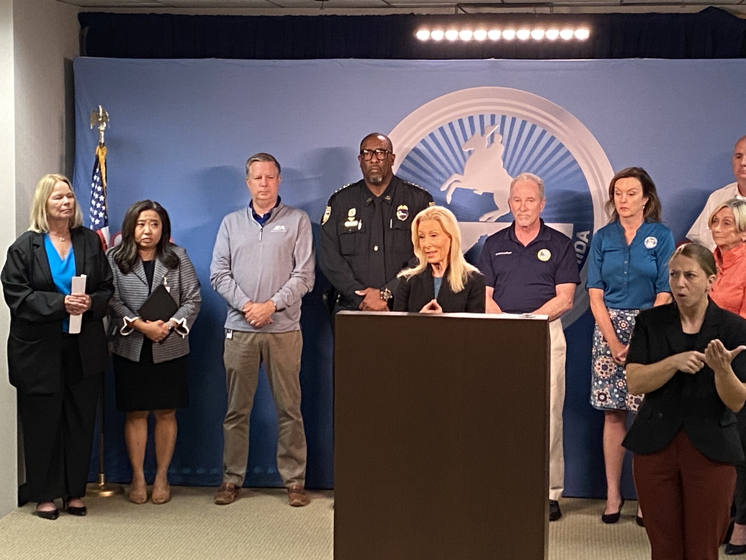
Jacksonville Mayor Donna Deegan and Sheriff T.K. Waters are shown at a storm update in August, 2023. l Steven Ponson, Jacksonville Today
Published on August 28, 2023 at 6:32 pm
Free local news and info, in your inbox at 6 a.m. M-F. Sign up for the Jacksonville Today newsletter.
Idalia is expected to hit the Gulf Coast of Florida this week as a powerful hurricane and then cross the state toward Northeast Florida. People here are advised to prepare for a hurricane-force storm.
Gov. Ron DeSantis has placed most of the Gulf Coast under a state of emergency, as well as Baker, Clay, Duval, Nassau, Putnam and St. Johns counties.
Jacksonville Today thanks our sponsors. Become one.
In addition, Jacksonville Mayor Donna Deegan declared a state of emergency Monday morning.
Here’s what to expect and how to be ready.
When will the storm hit Florida?
As of 5 p.m. Monday, the National Hurricane Center predicted Idalia would come ashore as a Category 3 hurricane somewhere on the Gulf Coast on Wednesday. A hurricane warning had been issued from Southwest Florida to the Big Bend area. Northeast Florida was under a tropical storm watch, meaning tropical storm conditions were possible within the area, generally within 48 hours. Watches and warnings are likely to change over the next day.
In a news conference at midday Monday, Deegan said substantial flooding is possible in vulnerable neighborhoods along the St. Johns River and along the coast. She also warned of rip currents over the next couple of days, winds up to 58 mph, up to 3 feet of storm surge, and 3 to 6 inches of rains.


Jacksonville Today thanks our sponsors. Become one.
The Hurricane Center warned of life-threatening storm surge and dangerous winds in much of Florida. The First Coast could begin to feel the effects Tuesday night, with the worst conditions occurring Wednesday.
How do I get current information?
Clay County: You can go to Alert.ClayCountygov.com or call a hotline with storm-related questions at 1-877-252-9362 starting at 7 a.m. Tuesday.
Duval County: You can stay connected to information through the JAXReady App. Also, you can call the city with questions at 630-CITY (2489), which will operate for 24 hours a day starting at 7 a.m. Tuesday.
St. Johns County: You can sign up for emergency notifications through sjcemergencymanagement.com or sign up for Nixle Alerts by texting StJohnsEOC to 888777. There will also be a citizen information line at 904-824-5550 if you have storm-related questions.
What’s open and closed?
Jacksonville Today is maintaining a list of closings, including schools, government offices, transportation, garbage services and more.
Do we need to evacuate?
No evacuation orders had been given in Jacksonville as of Monday afternoon. Clay County also had not issued evacuation orders, but officials encouraged people who live in mobile homes or homes that are prone to damage in a storm to evacuate. Evacuations could be ordered over the next day or so depending on how conditions develop.
Are shelters open?
The following shelters will open at noon Tuesday in Jacksonville:
- The Legends Center, 5130 Soutel Drive. Open for the general population.
- Chimney Lakes Elementary, 9353 Staples Mill Drive. Open for the general population and pet-friendly.
- Landmark Middle, 101 Kernan Blvd. Open for the general population and pet friendly.
- Atlantic Coast High School, 9735 R.G. Skinner Parkway. Special needs only.
- Oceanway Elementary, 12555 Gillespie Ave. Open for the general population.
- LaVilla School of the Arts, 501 N. Davis St. Open specifically for homeless individuals.
- Chaffee Trail Elementary School, 11400 Sam Caruso Way. Open for the general population.
Clay County will open three shelters at noon Tuesday: Lake Asbury Junior High School, Orange Park High School and Keystone Heights Junior-Senior High School. Lake Asbury will be a special needs shelter.
Putnam County will open these shelters at 5 p.m. Tuesday:
- Kelley Smith Elementary School on Kelley Smith School Road in Palatka, for those with special needs.
- Ochwilla Elementary School n Florida 21 in Hawthorne, pet friendly.
- Jenkins Elementary School on County Road 315 in Interlachen.
- Browning Pearce Elementary School on Bear Boulevard in San Mateo.
- Middleton Burney Elementary School on Huntington Road in Crescent City.
- Roberts Junior/Senior High School on Florida 100 in Florahome.
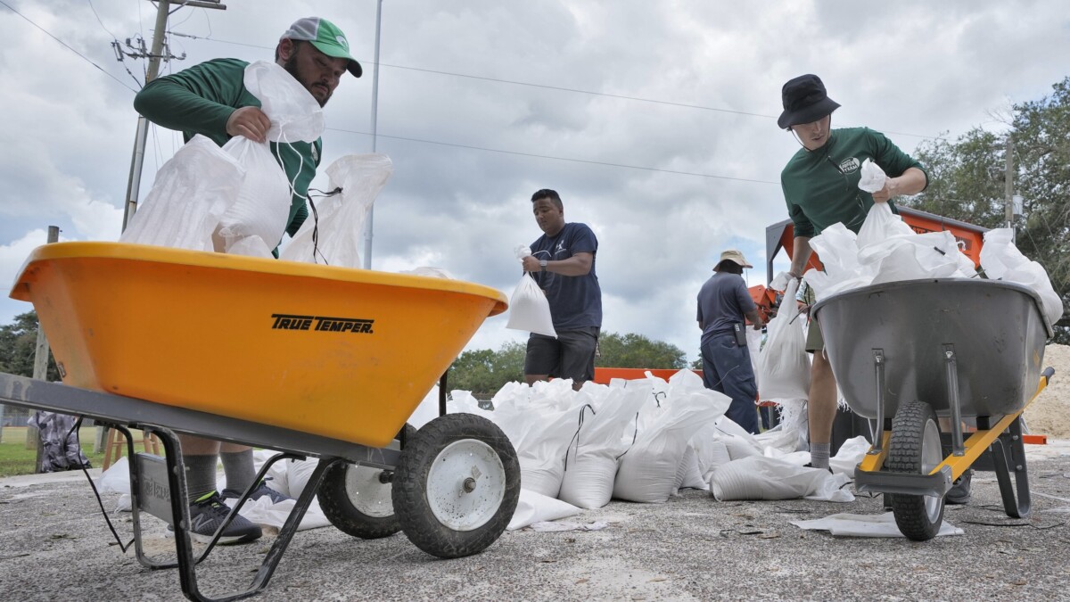
Are sandbags available?
The city of Jacksonville historically has not provided sandbags to residents. In St. Johns County, officials are providing free sandbags at six locations:
- Windswept Acres Park, 5335 SR A1A South in Butler Beach.
- Solomon Calhoun Community Center, 1300 Duval St. St. Augustine.
- Hastings Community Center, 6195 S. Main St., behind the building.
- Mills Field, 1805 Race Track Road in St. Johns, in the overflow parking area.
- Palm Valley, under the Palm Valley Bridge, on the east side of the Intracoastal Waterway.
- North Beach Park, 3721 Coastal Highway, at the walkover.
The city of St. Augustine will provide sandbags for free from 8 a.m. to 5 p.m. Tuesday at Francis Field, 25 West Castillo Drive. There will be a limit of 20 bags per person. The downtown parking garage in St. Augustine will be free of charge starting at 5 p.m. Tuesday for anyone living in a low-lying, flood-prone area who needs to get to higher ground.
What other steps should I take to prepare?
- Find your evacuation zone and your flood zone (which are not the same). In Jacksonville, go to maps.coj.net.
- Secure anything outside that could blow into a building, window or storm system, including signs, garbage cans/lids, toys, etc.
- Pick up any litter or loose yard debris around your home and secure it in a garbage bag or container.
- Low-lying and tidally influenced areas should expect and prepare for flood conditions.
- Fill the gas tank of your vehicle.
- Obtain a needed amount of cash.
- Charge your cellphones and mobile devices.
- Fill jugs and lidded containers with clean tap water.
- Inspect and secure mobile home tie-downs.
- Listen frequently to radio, TV, or NOAA Weather Radio for status and forecasts of the storm’s progress.
- Double check your emergency supply kit.
- Review your emergency plan.
What if I need to pay my power bill?
JEA said it suspended service disconnections until further notice as of Monday. Its customer center on Pearl Street will close Wednesday until further notice. If you need to make a payment or request a new service, you can still do that through JEA.com.