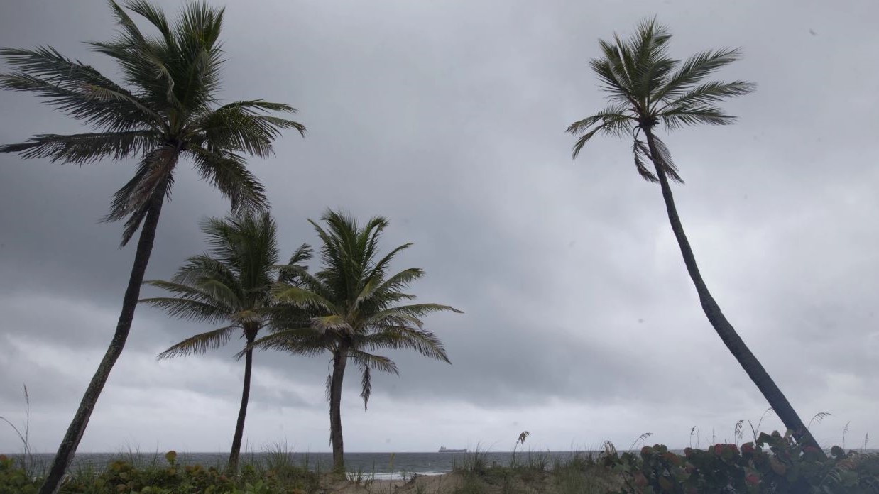
Nonstop rainfall in May and June not only relieved drought conditions in Northeast Florida, it brought the temperature down. Until now.
Most of Florida experienced abnormally dry or moderate drought conditions from January to May, according to the U.S. Drought Monitor. But the persistent rain in May and June put an end to the drought and brought the temperature to below normal.
Now oppressive heat forecast this weekend might be ushering in a summer of normal or above-normal heat, said Jason Hess, a meteorologist with the National Weather Service in Jacksonville.
A heat advisory was in effect for Jacksonville and 10 surrounding counties on Tuesday, with humidity pushing the feels-like temperature to 105 to 110 degrees.
After that, the National Weather Service forecasts a 50% to 60% chance of above-normal temperatures from July through September.
The average high temperature in Jacksonville is 90 degrees in June, 92 degrees in July and 91 degrees in August, according to Weather Service data.
Rainfall in 18 counties in Northeast Florida totaled 51.01 inches in the 12 months leading up to May, according to the St. Johns River Water Management District. Then the rainfall averaged 4.23 inches in May — 0.77 inches above the monthly average.
The potential for a renewed drought remains, however. If the hurricane season is less robust than usual, drought conditions could return in the fall, Hess said.
Whether we’ll see more or fewer hurricanes is a matter of debate. Although we’re in an El Niño weather pattern — which leads to winds that suppress Atlantic hurricanes — we also have exceptionally high ocean temperatures, which feed storms.
2023 already has already proven unusually busy with two named storms — Tropical Storms Bret and Cindy — in June, plus an unnamed storm in January. On average, the third named storm does not come until August.
Much of 2022 was a La Niňa season, the opposite of an El Niňo season, resulting in colder ocean surface temperatures. The La Niňa in 2022 could have affected drought conditions in 2023, Hess said.
The steamy weekend
The National Weather Service is forecasting temperatures in the mid to upper 90s through the holiday weekend.
JEA offers these tip for managing summer utility costs during extreme heat as people spend more time indoors:
- Set your thermostat at 78° in summer, 5 to 10 degrees higher when you leave the house. Air conditioning and heating systems consume 40% to 60% of the electricity customers use.
- Change your heating and cooling system air filter every month. A dirty air filter makes your system work harder, which uses more energy.
- Run ceiling or table fans instead of lowering the air conditioning thermostat. Fans can help make you feel 2 to 3 degrees cooler. Turn them off when you leave the room.
- Shade windows that receive direct sunlight to help keep rooms cooler.
- Avoid going in and out of the home repeatedly to keep cool air in and hot air out.
- Use the washer with full loads using cold water.
- Try grilling outside, using the microwave or cooking with a Crockpot or InstantPot instead of the stove or oven. Small appliances typically use less energy and keep the kitchen cool.
9(MDEwNzczMDA2MDEzNTg3ODA1MTAzZjYxNg004)) An earlier version of this story misstated the outlook for the summer.
An earlier version of this story misstated the outlook for the summer.


