Don’t look now, but another potentially massive hurricane is headed our general direction.
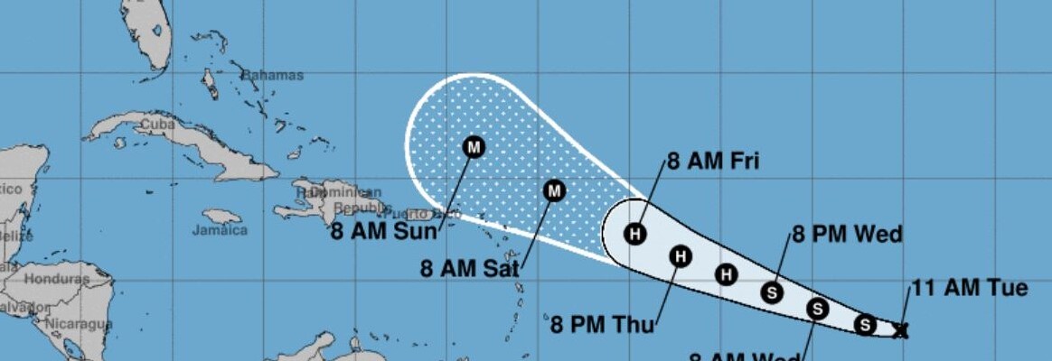
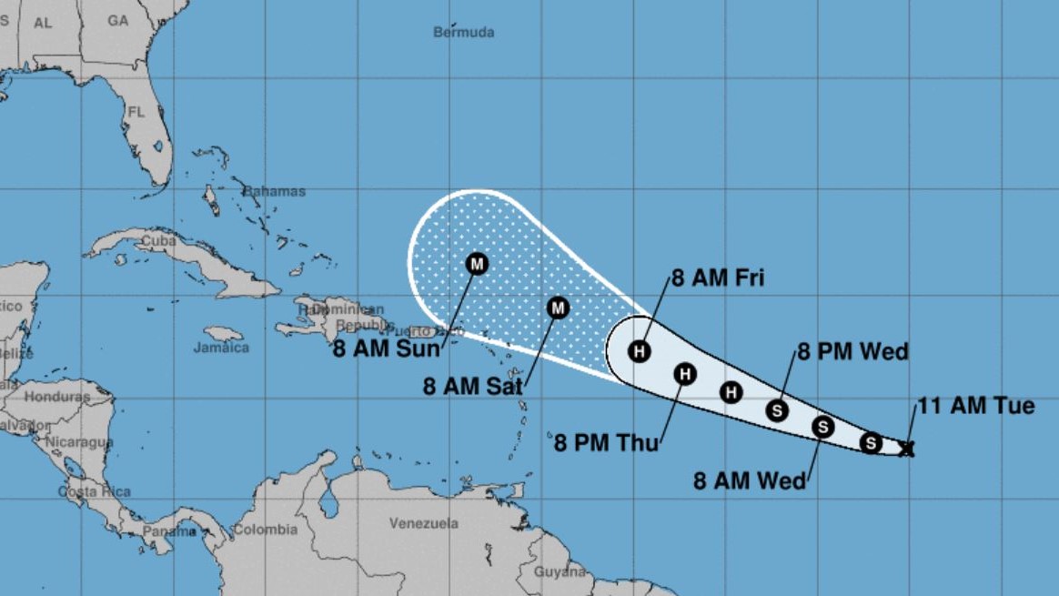
The National Hurricane Center says the new Tropical Depression 13 could develop into Hurricane Lee by the end of the week. The storm is moving west-northwest at about 15 mph with winds of close to 35 mph.
The system will hit record-warm waters as it moves west and could intensify quickly into a major hurricane — meaning winds of at last 111 mph — by Saturday, the Hurricane Center says.
Most forecast models show the storm curving north next week without reaching Florida, but it’s too early to say with confidence what direction it will travel. Even if the hurricane avoided Florida, it could lead to huge swells and dangerous riptides along the coast.
Sunday will be Sept. 10, the date considered the peak of the Atlantic hurricane season. It is the date when the most tropical storms and hurricanes have roamed the Atlantic basin.


