
Published on February 6, 2025 at 11:30 am
Free local news and info, in your inbox at 6 a.m. M-F. Sign up for the Jacksonville Today newsletter.
Punxsutawney Phil may have predicted six more weeks of winter for the U.S., but Florida has never beat to Phil’s drum.
In fact, long-range forecasts indicate that the Sunshine State may be getting a jump start on spring.
Jacksonville Today thanks our sponsors. Become one.
It was just a few weeks ago that Florida’s Panhandle and North Florida saw freezing temperatures and record-breaking snowfall in January. So the elephant in the room is what happens these next six weeks in Florida as we roll towards the official start of Spring by late March.
NOAA’s Climate Prediction Center’s 90-day outlook, which was issued Jan. 16, shows weak La Niña conditions are present and expected to last from February through April.
Florida is most familiar with the effects of La Niña during hurricane season, but it also affects Florida other times of the year.


Jacksonville Today thanks our sponsors. Become one.
During a La Niña year, winter temperatures are warmer than normal in the South and cooler than normal in the North. Below-normal precipitation is also expected through April according to The Climate Prediction Center.

For the next few weeks, expect warmer temperatures and drier weather across Florida.
You may have noticed your allergies suddenly spiking after trees around the state rebound from January’s arctic blast. Warm temps, little wind and very little rain is helping to increase the pollen state wide, sending allergy suffers indoors.
The Old Farmer’s Almanac long-range forecast also has some predictions for February:
- Feb. 13-16: Sunny and mild.
- Feb. 17-23: Sunny, then heavy rain and turning cold.
- Feb. 24-28: Sunny, very cold, then turning warmer.

And the Farmer’s Almanac predictions for March are for temperatures 3 degrees above average at 71 degrees, with precipitation 2 inches above average.
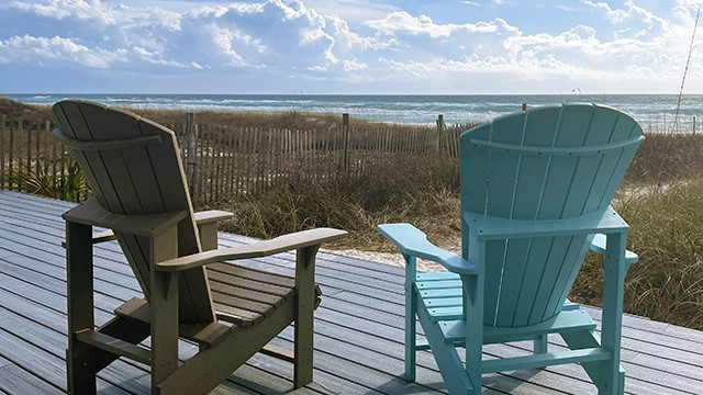
Overall, Florida’s February weather looks like it will be much warmer and drier than January, with plenty of sunshine on the horizon for most residents to enjoy.
Copyright 2025 Storm Center