Hurricane Debby was downgraded to a tropical storm late Monday morning, but the effects were continuing across Northeast Florida.
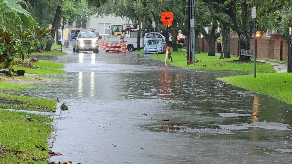
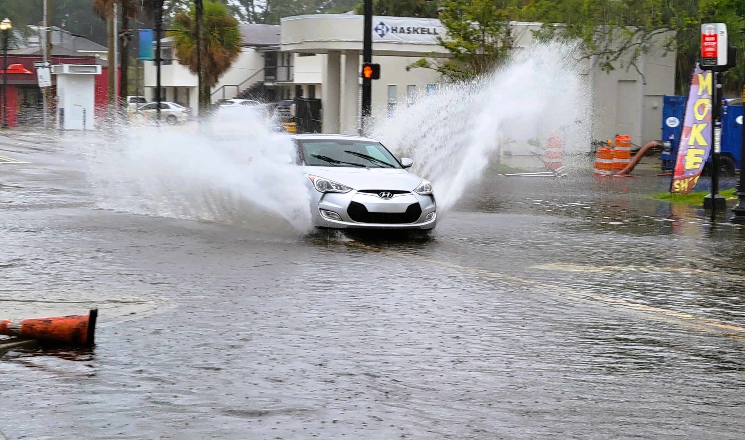
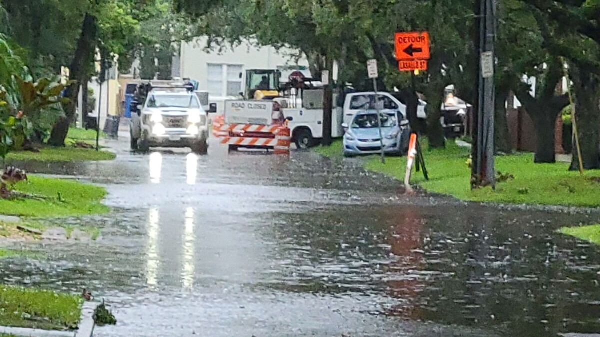
The storm dropped waves of rain and flooded some San Marco streets just after high tide Monday morning. LaSalle Street at San Marco Boulevard was flooded, as was part of Palm Avenue.
Emergency Preparedness Chief Andre Ayoub told Jacksonville Today that city departments planned for the storm all weekend, concerned that it could slow and dump heavy rain on the city. He advised seeking refuge if you live in a low-lying area.
“Don’t go out in this weather,” Ayoub said. “You want to see the wind and trees and all that, that is when people get hurt. …we tell people, don’t go out and sightsee during a storm. If you are in the middle of the storm, just hunker down and be safe until the storm passes.”
The National Hurricane Center said Debby was 120 miles south of Valdasta, Georgia, at 11 a.m. after coming ashore in the Florida’s Big Bend area around 7 a.m.
The storm’s sustained winds were measured at 70 mph, just under hurricane strength. Debby was moving north-northeast at a leisurely 8 mph and was expected to slow more and turn east.

Megan Borowski of the Florida Public Radio Emergency Network said heavy rain will continue into the early evening in Northeast Florida as the bands from the storm move from southwest to Northeast.
“Three inch-an-hour rainfall rates aren’t out of the realm of possibility, especially for the I-10 corridor immediately west of Jacksonville,” Borowski said. “Also, tropical storm force wind gusts will likely continue throughout the day. We’ve already gotten reports of that, and that should continue, so flooding is going to be a big concern and with those tropical storm force wind gusts we’ll likely see downed trees and power lines, probably power outages,”
Borowski said there was a chance for tornadoes to pop up though the afternoon. All of Northeast Florida and Southeast Georgia remained under a tornado watch until at least 4 p.m.
Mayor Donna Deegan said conditions were improving, however, and the city was preparing to move toward normal operations. She said she expects to lift a local emergency order by Tuesday unless the weather turns worse.
“We do continue to expect rain, and that rain will be heavy in periods between now and midnight, and some overnight and into the early morning, so we are not done with this yet,” Deegan said during a news conference at noon. “The ground is saturated and there may be some isolated tornadoes or maybe some isolated issues. But all in all, we are moving in the right direction.”
JEA crews were working all over the city. The utility reported just over 10,000 customers affected at about 10 a.m. Monday, and the number had dropped to just under 7,000 by 11:15 a.m. Some of the largest outages were in Atlantic Beach, Mandarin and the Northside and Westside.
Jacksonville International Airport reported that 17 departures and 22 arriving flights had been canceled by late Monday morning. Anyone planning to fly in or out of JIA, or waiting for an arrival, is advised to check with their airline on the flight.
The city opened three shelters for those in need: LaVilla Middle School on North Davis Street; Landmark Middle School on Kernan Blvd North; and The Legends Center on Soutel Drive. Landmark Middle is set up for people with special medical needs and is pet friendly.
During a news conference Sunday afternoon, Fire Chief Keith Powers said his department was working with the Jacksonville Transportation Authority to get people out of low-lying areas likely to flood. Sheriff T.K. Waters said 30 extra officers were deployed Sunday.
Deegan said the St. Johns River Ferry suspended service under Coast Guard orders, and the JTA’s Skyway also was shut down. The ferry reopened later Monday.
JTA had shuttles for the area of Ken Knight Drive in the event of flooding. The shuttle at Bus Stop 3991, at Ken Knight Drive and Moncrief Road, will run until 10 p.m. Monday.
All public libraries, city pools and senior centers were closed Monday except the Legends center, which was being used as a shelter. Deegan said all city offices should reopen Tuesday; garbage pickup will continue as it did Monday; and the three shelters probably will close.
For more information, go to JaxReady.com.
In Clay County, officials urged people in low-lying areas to prepare for flooding and evacuate if needed.
Three shelters were set to open in Clay County: at Keystone Heights Elementary school, Orange Park High School, and Lake Asbury Junior High Schools.
Clay County Emergency Management Director Tim Devin said he expects more reports of downed trees and power lines … and more are expected.
“The storm will be out of our area this evening, but that doesn’t mean the effects will be gone with it,” he said. “We’re preparing for possible flooding in Black Creek, even after the storm has moved on.”
Clay County Sheriff Michelle Cook said one tree fell on an occupied car. Her warning: Stay off the roads if you don’t have to drive.
“But if you do have to drive, and you come up to an intersection where the lights are malfunctioning, please remember to treat it as a four way stop,” Cook said.

Police around the area dealt with numerous traffic crashes Monday due to slick roads. One involved a jackknifed tractor trailer on Interstate 95 northbound at Norwood Avenue.
Schools and district offices were closed on Monday in Duval, Clay, Nassau and Baker counties due to the storm. All extracurricular activities were canceled as well.
For the homeless population, Jacksonville’s Sulzbacher opened its doors Sunday night to help provide shelter for anyone in need of a safe place to stay during the storm. Women and families can go to Sulzbacher Village on Springfield Boulevard Monday through Tuesday. Sulzbacher’s Downtown campus on East Adams Street is closed.
Updated: This story was updated on Aug. 6 to remove an incorrect statistic about the leading causes of deaths from hurricanes.


