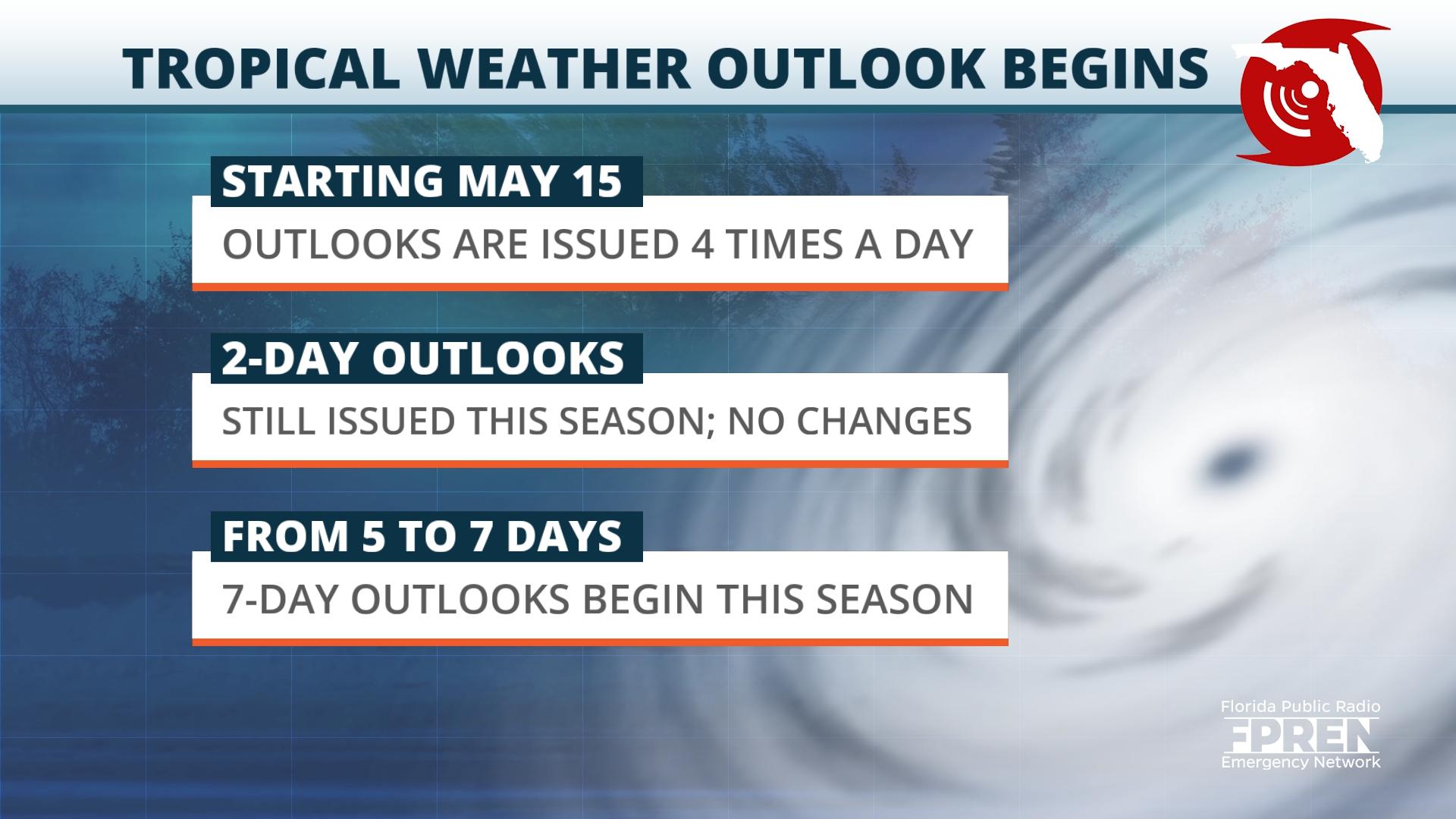
The National Hurricane Center issued its first seven-day Tropical Weather Outlook of the season Monday, with hopes of providing people more time to prepare before a tropical system.
Every year on May 15, the National Hurricane Center (NHC) begins routine issuance of the Tropical Weather Outlook in the Atlantic basin. This product is used to identify areas of disturbed weather and describe their potential for tropical development.
Starting this year, the graphical outlook tool from the hurricane center will be extended from five to seven days. Compared with other severe weather events, tropical cyclones already have a substantially longer lead time. The extra two days could give enough time for residents to better prepare their homes and businesses and make a difference in preparedness at the community-level.
The two-day graphical outlooks will still be available in addition to the extended seven-day outlook.
Other changes to the Tropical Weather Outlook will take effect this season as well. Invest identification numbers will be added when appropriate to the body of the Tropical Weather Outlook text product. These numbers are used to identify areas of disturbed weather that have the potential for tropical development. They are composed of four characters: a two-letter basin identifier (AL for Atlantic) and a two-digit number that begins with a 9 (e.g., 90, 91, 92, etc.).
Tropical Weather Outlooks are issued four times a day through Nov. 30. The updates will be available at 2 a.m., 8 a.m., 2 p.m. and 8 p.m. until Daylight Saving Time ends on Nov. 5. After that, updates will be available at 1 a.m., 7 a.m., 1 p.m. and 7 p.m. through the end of the Atlantic hurricane season.
There are other changes set to take effect during the 2023 Atlantic hurricane season. In addition to changes with the Tropical Weather Outlook, the Peak Storm Surge Forecast graphic becomes operation in 2023 and will be available for residents in Puerto Rico and the U.S. Virgin Islands.
In previous years, the Peak Storm Surge Forecast graphic was only made available to residents along the U.S. Gulf and East Coasts. In an effort to reduce duplication of information, the NHC will remove land-based tropical cyclone watches and warnings from the Tropical Cyclone Forecast.
The Atlantic hurricane season will begin June 1 and run through Nov. 30.
9(MDEwNzczMDA2MDEzNTg3ODA1MTAzZjYxNg004))


